

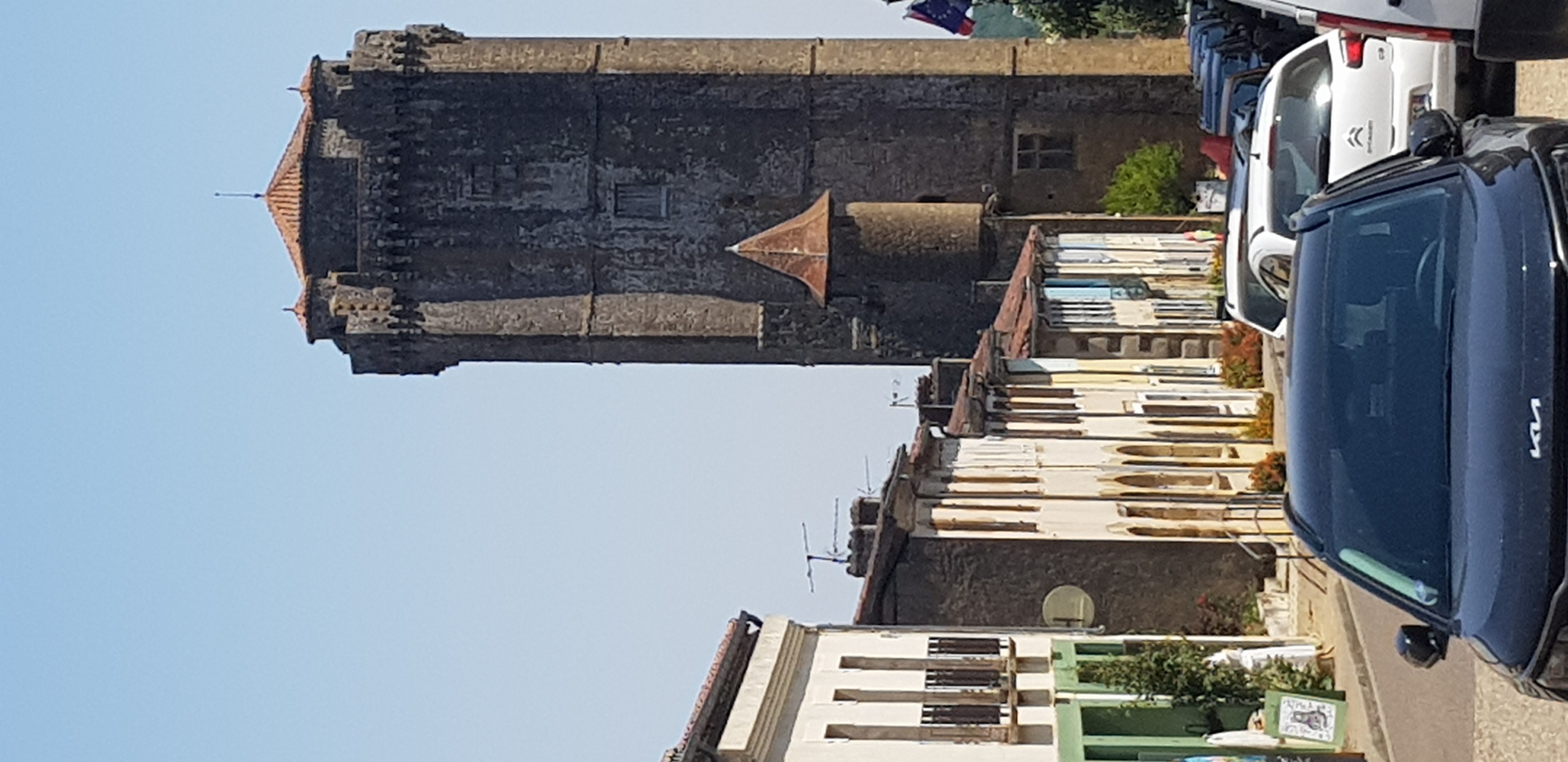
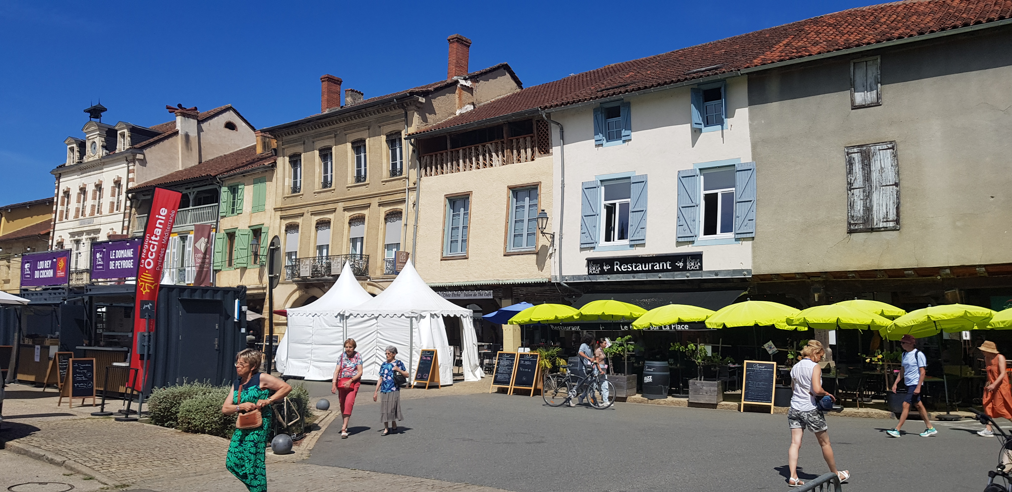
Cyclo A travers les vignobles de Saint-Mont (20/02/2011)
A cycling route starting in Plaisance, Occitanie, France.
Overview
About this route
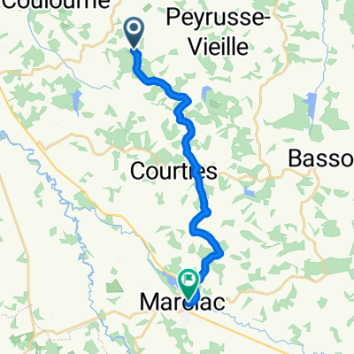
Cyclosportive 'Across the Vineyards of Saint-Mont' (20/02/2011) - 65 km route
- -:--
- Duration
- 64.7 km
- Distance
- 347 m
- Ascent
- 332 m
- Descent
- ---
- Avg. speed
- ---
- Max. altitude

Route quality
Waytypes & surfaces along the route
Waytypes
Road
15.5 km
(24 %)
Quiet road
6.5 km
(10 %)
Surfaces
Paved
59.5 km
(92 %)
Unpaved
3.2 km
(5 %)
Asphalt
59.5 km
(92 %)
Ground
3.2 km
(5 %)
Undefined
1.9 km
(3 %)
Continue with Bikemap
Use, edit, or download this cycling route
You would like to ride Cyclo A travers les vignobles de Saint-Mont (20/02/2011) or customize it for your own trip? Here is what you can do with this Bikemap route:
Free features
- Save this route as favorite or in collections
- Copy & plan your own version of this route
- Sync your route with Garmin or Wahoo
Premium features
Free trial for 3 days, or one-time payment. More about Bikemap Premium.
- Navigate this route on iOS & Android
- Export a GPX / KML file of this route
- Create your custom printout (try it for free)
- Download this route for offline navigation
Discover more Premium features.
Get Bikemap PremiumFrom our community
Other popular routes starting in Plaisance
 Impasse de Mèque to bassouse
- Distance
- 12.5 km
- Ascent
- 229 m
- Descent
- 205 m
- Location
- Plaisance, Occitanie, France
 Steady ride
- Distance
- 17.5 km
- Ascent
- 178 m
- Descent
- 273 m
- Location
- Plaisance, Occitanie, France
 plaisance to Mèque
- Distance
- 12 km
- Ascent
- 205 m
- Descent
- 148 m
- Location
- Plaisance, Occitanie, France
 Mèque to marciac
- Distance
- 15.9 km
- Ascent
- 284 m
- Descent
- 325 m
- Location
- Plaisance, Occitanie, France
 Impasse de Mèque to Aignan lake
- Distance
- 15.8 km
- Ascent
- 216 m
- Descent
- 263 m
- Location
- Plaisance, Occitanie, France
 To camping loree du bois by noricamp
- Distance
- 82.5 km
- Ascent
- 1,392 m
- Descent
- 1,397 m
- Location
- Plaisance, Occitanie, France
 lupiac to Impasse de Mèque
- Distance
- 15.3 km
- Ascent
- 225 m
- Descent
- 268 m
- Location
- Plaisance, Occitanie, France
 Shortened 2025 route
- Distance
- 373.8 km
- Ascent
- 3,170 m
- Descent
- 3,171 m
- Location
- Plaisance, Occitanie, France
Open it in the app