

Maplewood Cycling
A cycling route starting in Maplewood, Minnesota, United States.
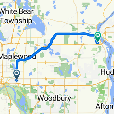
Overview
About this route
- -:--
- Duration
- 14.1 km
- Distance
- 450 m
- Ascent
- 299 m
- Descent
- ---
- Avg. speed
- ---
- Max. altitude

Continue with Bikemap
Use, edit, or download this cycling route
You would like to ride Maplewood Cycling or customize it for your own trip? Here is what you can do with this Bikemap route:
Free features
- Save this route as favorite or in collections
- Copy & plan your own version of this route
- Sync your route with Garmin or Wahoo
Premium features
Free trial for 3 days, or one-time payment. More about Bikemap Premium.
- Navigate this route on iOS & Android
- Export a GPX / KML file of this route
- Create your custom printout (try it for free)
- Download this route for offline navigation
Discover more Premium features.
Get Bikemap PremiumFrom our community
Other popular routes starting in Maplewood
 Handsome Cycles
- Distance
- 38.6 km
- Ascent
- 280 m
- Descent
- 300 m
- Location
- Maplewood, Minnesota, United States
 B2B00784 55125>55164 via Up.Afton/Ruth/Mhaha/JohnsonPkwy/Wheelock/Edgerton/VadLake/Rice/Gramsie/Lex
- Distance
- 27.1 km
- Ascent
- 127 m
- Descent
- 137 m
- Location
- Maplewood, Minnesota, United States
 B2B00956 55119>55401 via Case Av, Como Av, 4th St SE
- Distance
- 24 km
- Ascent
- 159 m
- Descent
- 192 m
- Location
- Maplewood, Minnesota, United States
 B2B00211 55119>55101 via Upper Afton, 7th Street
- Distance
- 17.8 km
- Ascent
- 189 m
- Descent
- 192 m
- Location
- Maplewood, Minnesota, United States
 B2B00497 55106>55082 via Bruce Vento Trl, Gateway Trl, Myrtle Av
- Distance
- 28.4 km
- Ascent
- 92 m
- Descent
- 89 m
- Location
- Maplewood, Minnesota, United States
 B2B00401 55106>55454 via WheelockPkwy/Como/IntercampusTrail/27SE/Franklin/Riverside
- Distance
- 19.1 km
- Ascent
- 69 m
- Descent
- 71 m
- Location
- Maplewood, Minnesota, United States
 B2B00758 55119>55128 viaUpperAfton/Century/HudsonRd./Hadley Hudson
- Distance
- 13.8 km
- Ascent
- 91 m
- Descent
- 78 m
- Location
- Maplewood, Minnesota, United States
 WB CTY PARK
- Distance
- 17.3 km
- Ascent
- 59 m
- Descent
- 71 m
- Location
- Maplewood, Minnesota, United States
Open it in the app