

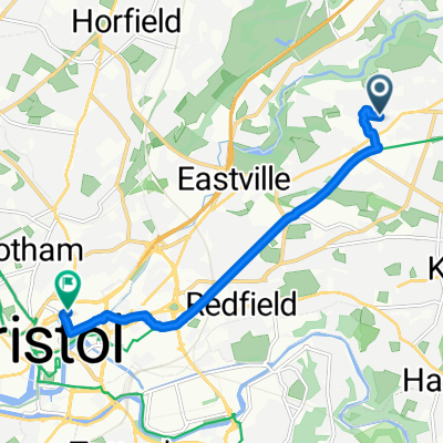
Tytherington !
A cycling route starting in Mangotsfield, England, United Kingdom.
Overview
About this route
- -:--
- Duration
- 41.5 km
- Distance
- 121 m
- Ascent
- 170 m
- Descent
- ---
- Avg. speed
- ---
- Max. altitude

Route quality
Waytypes & surfaces along the route
Waytypes
Quiet road
13.7 km
(33 %)
Road
13.3 km
(32 %)
Surfaces
Paved
30.3 km
(73 %)
Asphalt
29.9 km
(72 %)
Paved (undefined)
0.4 km
(1 %)
Undefined
11.2 km
(27 %)
Continue with Bikemap
Use, edit, or download this cycling route
You would like to ride Tytherington ! or customize it for your own trip? Here is what you can do with this Bikemap route:
Free features
- Save this route as favorite or in collections
- Copy & plan your own version of this route
- Sync your route with Garmin or Wahoo
Premium features
Free trial for 3 days, or one-time payment. More about Bikemap Premium.
- Navigate this route on iOS & Android
- Export a GPX / KML file of this route
- Create your custom printout (try it for free)
- Download this route for offline navigation
Discover more Premium features.
Get Bikemap PremiumFrom our community
Other popular routes starting in Mangotsfield
 Avon Cycleway
- Distance
- 139.2 km
- Ascent
- 502 m
- Descent
- 501 m
- Location
- Mangotsfield, England, United Kingdom
 North Bath hills
- Distance
- 57.2 km
- Ascent
- 863 m
- Descent
- 864 m
- Location
- Mangotsfield, England, United Kingdom
 65km 470m North loop
- Distance
- 65.1 km
- Ascent
- 332 m
- Descent
- 335 m
- Location
- Mangotsfield, England, United Kingdom
 Nailsworth Loop (60 Miles)
- Distance
- 98.3 km
- Ascent
- 766 m
- Descent
- 766 m
- Location
- Mangotsfield, England, United Kingdom
 Route to Bristol City Centre
- Distance
- 6.7 km
- Ascent
- 21 m
- Descent
- 64 m
- Location
- Mangotsfield, England, United Kingdom
 Bristol/Avonmouth/Severn Bridge loop
- Distance
- 57.1 km
- Ascent
- 184 m
- Descent
- 192 m
- Location
- Mangotsfield, England, United Kingdom
 practice run CLONED FROM ROUTE 986538
- Distance
- 265.3 km
- Ascent
- 1,440 m
- Descent
- 1,443 m
- Location
- Mangotsfield, England, United Kingdom
 Clevedon loop via Barrow Reservoir
- Distance
- 70 km
- Ascent
- 403 m
- Descent
- 405 m
- Location
- Mangotsfield, England, United Kingdom
Open it in the app