

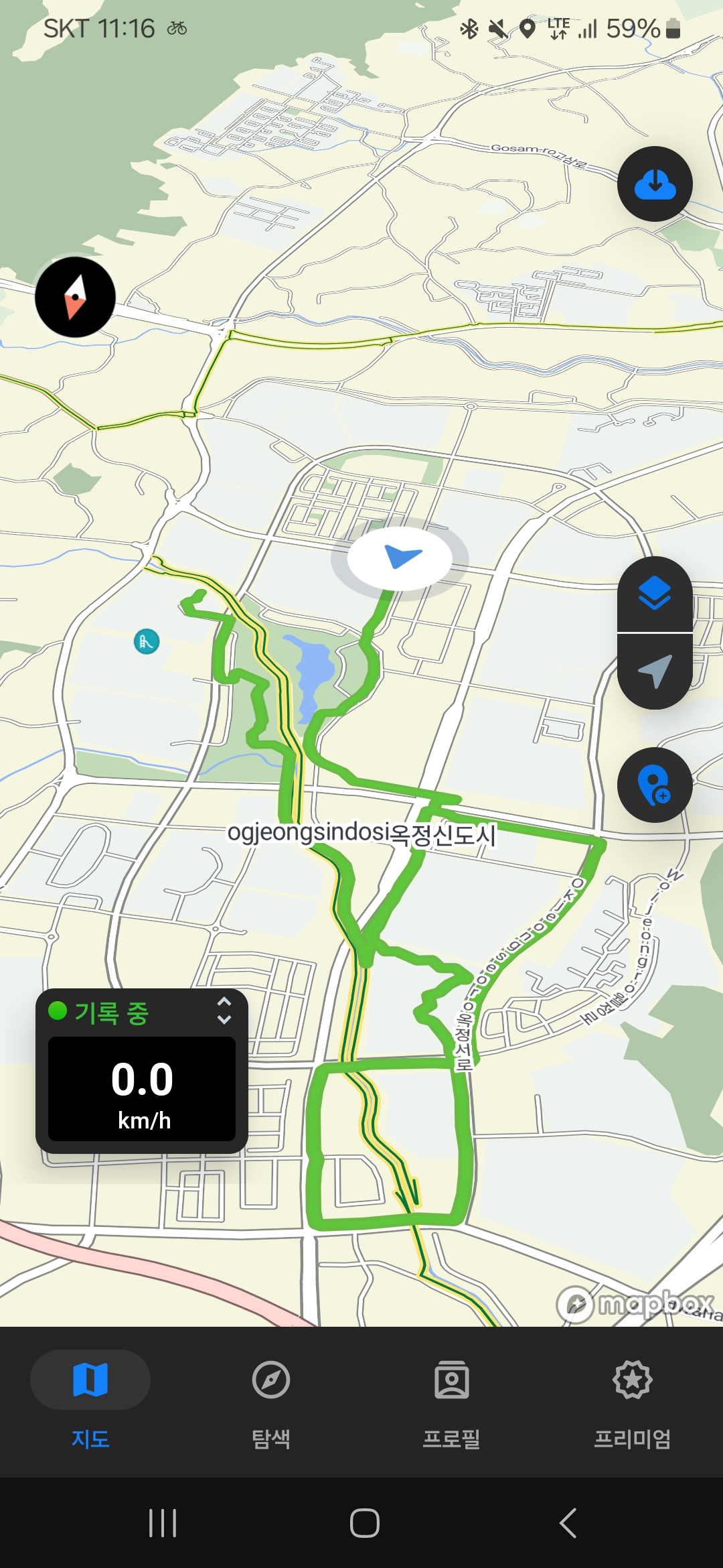
첫서울구경마장동
A cycling route starting in Yangju, Gyeonggi-do, South Korea.
Overview
About this route
- 8 h 12 min
- Duration
- 91.5 km
- Distance
- 593 m
- Ascent
- 592 m
- Descent
- 11.2 km/h
- Avg. speed
- ---
- Max. altitude

Route photos


Continue with Bikemap
Use, edit, or download this cycling route
You would like to ride 첫서울구경마장동 or customize it for your own trip? Here is what you can do with this Bikemap route:
Free features
- Save this route as favorite or in collections
- Copy & plan your own version of this route
- Split it into stages to create a multi-day tour
- Sync your route with Garmin or Wahoo
Premium features
Free trial for 3 days, or one-time payment. More about Bikemap Premium.
- Navigate this route on iOS & Android
- Export a GPX / KML file of this route
- Create your custom printout (try it for free)
- Download this route for offline navigation
Discover more Premium features.
Get Bikemap PremiumFrom our community
Other popular routes starting in Yangju
![옥정동Ph0]으로 라우팅](https://media.bikemap.net/routes/17537179/gallery/thumbs/49fa1ee7-50cd-4a71-8c6e-9d0852776136.jpg.208x208_q80_crop.jpg) 옥정동Ph0]으로 라우팅
옥정동Ph0]으로 라우팅- Distance
- 30.1 km
- Ascent
- 81 m
- Descent
- 102 m
- Location
- Yangju, Gyeonggi-do, South Korea
 옥정동로1길, 양주시에서 옥정동로1길, 양주시까지
- Distance
- 52.5 km
- Ascent
- 561 m
- Descent
- 561 m
- Location
- Yangju, Gyeonggi-do, South Korea
 편안한 경로
- Distance
- 16.1 km
- Ascent
- 143 m
- Descent
- 157 m
- Location
- Yangju, Gyeonggi-do, South Korea
 어룡동 303-7, 포천시 ~ 어룡동 303-7, 포천시
- Distance
- 14.4 km
- Ascent
- 41 m
- Descent
- 64 m
- Location
- Yangju, Gyeonggi-do, South Korea
![백석읍 109-60Ph0]으로 라우팅](https://media.bikemap.net/routes/16714617/staticmaps/in_30d80c05-075c-42ec-9240-76ff2d10e600_400x400_bikemap-2021-3D-static.png) 백석읍 109-60Ph0]으로 라우팅
백석읍 109-60Ph0]으로 라우팅- Distance
- 24.5 km
- Ascent
- 134 m
- Descent
- 99 m
- Location
- Yangju, Gyeonggi-do, South Korea
![Ph0]에서 경로생연동 222-24](https://media.bikemap.net/routes/16714642/staticmaps/in_ba0fd2c1-e722-43fc-9ae6-37bb75870a2a_400x400_bikemap-2021-3D-static.png) Ph0]에서 경로생연동 222-24
Ph0]에서 경로생연동 222-24- Distance
- 25.5 km
- Ascent
- 136 m
- Descent
- 120 m
- Location
- Yangju, Gyeonggi-do, South Korea
 Baby AI loop
- Distance
- 36.8 km
- Ascent
- 392 m
- Descent
- 390 m
- Location
- Yangju, Gyeonggi-do, South Korea
 첫서울구경마장동
- Distance
- 91.5 km
- Ascent
- 593 m
- Descent
- 592 m
- Location
- Yangju, Gyeonggi-do, South Korea
Open it in the app