
Mirellenbach
A cycling route starting in Altenberg bei Linz, Upper Austria, Austria.
Overview
About this route
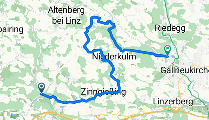
Bei Zinngießing oder vor Niederkulm Abzweigung nach Gallusberg möglich.
Rückfahrt von Altenberg möglich.
Verschiedene Wege im Mirellenbachtal möglich, ebenso alternativer Ausstieg aus dem Weg Richtung Gallneukirchen.
Geniale Variationsmöglichkeiten!
- -:--
- Duration
- 12.8 km
- Distance
- 278 m
- Ascent
- 282 m
- Descent
- ---
- Avg. speed
- ---
- Avg. speed
Route quality
Waytypes & surfaces along the route
Waytypes
Track
5.9 km
(46 %)
Quiet road
4.5 km
(35 %)
Surfaces
Paved
1.6 km
(12 %)
Unpaved
7.1 km
(56 %)
Ground
5 km
(39 %)
Gravel
1.2 km
(9 %)
Continue with Bikemap
Use, edit, or download this cycling route
You would like to ride Mirellenbach or customize it for your own trip? Here is what you can do with this Bikemap route:
Free features
- Save this route as favorite or in collections
- Copy & plan your own version of this route
- Sync your route with Garmin or Wahoo
Premium features
Free trial for 3 days, or one-time payment. More about Bikemap Premium.
- Navigate this route on iOS & Android
- Export a GPX / KML file of this route
- Create your custom printout (try it for free)
- Download this route for offline navigation
Discover more Premium features.
Get Bikemap PremiumFrom our community
Other popular routes starting in Altenberg bei Linz
 Hellmonsödt AV160
- Distance
- 14.3 km
- Ascent
- 609 m
- Descent
- 79 m
- Location
- Altenberg bei Linz, Upper Austria, Austria
 Leitnerstraße 10, Mittertreffling nach Gasstraße, Linz
- Distance
- 12.1 km
- Ascent
- 56 m
- Descent
- 163 m
- Location
- Altenberg bei Linz, Upper Austria, Austria
 Im Landlgrund 28, Altenberg bei Linz nach Im Landlgrund 28, Altenberg bei Linz
- Distance
- 25.9 km
- Ascent
- 496 m
- Descent
- 495 m
- Location
- Altenberg bei Linz, Upper Austria, Austria
 Trail Schatzweg
- Distance
- 4 km
- Ascent
- 172 m
- Descent
- 170 m
- Location
- Altenberg bei Linz, Upper Austria, Austria
 Altenberg-Schnkfeldn-Gallneukirchen
- Distance
- 50 km
- Ascent
- 756 m
- Descent
- 767 m
- Location
- Altenberg bei Linz, Upper Austria, Austria
 Altenberg und drei Gewässer
- Distance
- 44.7 km
- Ascent
- 776 m
- Descent
- 789 m
- Location
- Altenberg bei Linz, Upper Austria, Austria
 Altenberg AV40
- Distance
- 9 km
- Ascent
- 342 m
- Descent
- 342 m
- Location
- Altenberg bei Linz, Upper Austria, Austria
 Trail Windpassing – Dornach
- Distance
- 3.2 km
- Ascent
- 45 m
- Descent
- 387 m
- Location
- Altenberg bei Linz, Upper Austria, Austria
Open it in the app