

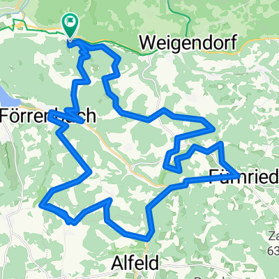
Hohenstadt - Christrosen
A cycling route starting in Pommelsbrunn, Bavaria, Germany.
Overview
About this route
Recommended on komoot
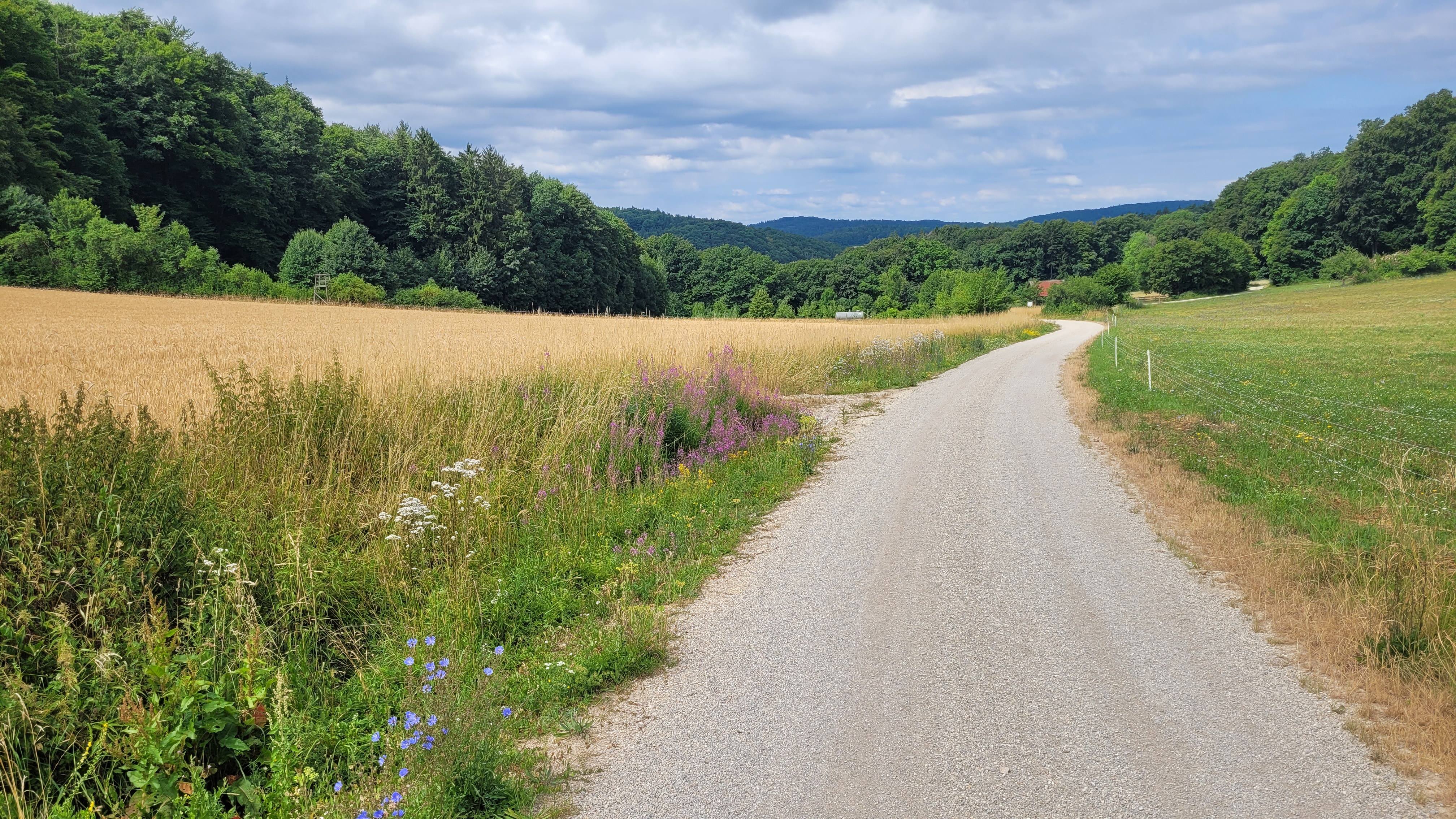
Be sure to walk below the rock wall
- -:--
- Duration
- 4.9 km
- Distance
- 181 m
- Ascent
- 185 m
- Descent
- ---
- Avg. speed
- ---
- Max. altitude

Route quality
Waytypes & surfaces along the route
Waytypes
Track
3.8 km
(78 %)
Path
0.8 km
(16 %)
Surfaces
Paved
0.1 km
(2 %)
Unpaved
4.8 km
(98 %)
Gravel
2.7 km
(55 %)
Unpaved (undefined)
1.1 km
(23 %)
Route highlights
Points of interest along the route
Point of interest after 0 km
Parkplatz
Point of interest after 4.8 km
Christrosenplatz
Continue with Bikemap
Use, edit, or download this cycling route
You would like to ride Hohenstadt - Christrosen or customize it for your own trip? Here is what you can do with this Bikemap route:
Free features
- Save this route as favorite or in collections
- Copy & plan your own version of this route
- Sync your route with Garmin or Wahoo
Premium features
Free trial for 3 days, or one-time payment. More about Bikemap Premium.
- Navigate this route on iOS & Android
- Export a GPX / KML file of this route
- Create your custom printout (try it for free)
- Download this route for offline navigation
Discover more Premium features.
Get Bikemap PremiumFrom our community
Other popular routes starting in Pommelsbrunn
 pommelsbrunn_hoehenglueck_windloch_windburg CLONED FROM ROUTE 711139
- Distance
- 32 km
- Ascent
- 835 m
- Descent
- 836 m
- Location
- Pommelsbrunn, Bavaria, Germany
 Hersbrucker Schweiz lang
- Distance
- 80.5 km
- Ascent
- 1,331 m
- Descent
- 1,317 m
- Location
- Pommelsbrunn, Bavaria, Germany
 Pommelsbrunn RF 4
- Distance
- 21.8 km
- Ascent
- 364 m
- Descent
- 369 m
- Location
- Pommelsbrunn, Bavaria, Germany
 Pegnitztal-Radweg ab Hohenstadt
- Distance
- 25.6 km
- Ascent
- 372 m
- Descent
- 326 m
- Location
- Pommelsbrunn, Bavaria, Germany
 Schottental 2
- Distance
- 41.6 km
- Ascent
- 1,368 m
- Descent
- 1,366 m
- Location
- Pommelsbrunn, Bavaria, Germany
 Pommelsbrunn nach Arzloher Straße
- Distance
- 61.6 km
- Ascent
- 1,086 m
- Descent
- 1,085 m
- Location
- Pommelsbrunn, Bavaria, Germany
 D_Bayern_Pommelsbrunn-1000hmr-Nordschleife_RR-10.6km-410hm
- Distance
- 10.6 km
- Ascent
- 441 m
- Descent
- 439 m
- Location
- Pommelsbrunn, Bavaria, Germany
 Hohenstadt-Vilseck-Hohenstadt
- Distance
- 65.7 km
- Ascent
- 658 m
- Descent
- 657 m
- Location
- Pommelsbrunn, Bavaria, Germany
Open it in the app