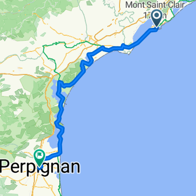
Boulevard Danielle Casanova, Sete nach Béziers
- 51.6 km
- 136 m
- 130 m
- Sète, Occitanie, France
A cycling route starting in Sète, Occitanie, France.
Overview
Metrics calculated from imported data Distance: 541.4 km Minimum altitude: 0 m Maximum altitude: 1065 m Cumulative positive elevation gain: 6335 m Cumulative negative elevation gain: 6170 m
created this 4 years ago
Route quality
Track
342.9 km
(49 %)
Quiet road
126 km
(18 %)
Paved
126 km
(18 %)
Unpaved
251.9 km
(36 %)
Gravel
175 km
(25 %)
Asphalt
84 km
(12 %)
Continue with Bikemap
You would like to ride THB officielle or customize it for your own trip? Here is what you can do with this Bikemap route:
Free trial for 3 days, or one-time payment. More about Bikemap Premium.
Discover more Premium features.
Get Bikemap PremiumFrom our community
Open it in the app