

Tour Brandenburg 6
A cycling route starting in Tauer, Brandenburg, Germany.
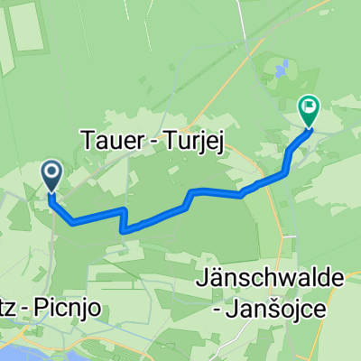
Overview
About this route
31.07. From Camping Großsee to Camping Grünewalder Lauch 135 km
- -:--
- Duration
- 134 km
- Distance
- 140 m
- Ascent
- 122 m
- Descent
- ---
- Avg. speed
- ---
- Max. altitude

Route quality
Waytypes & surfaces along the route
Waytypes
Path
36.2 km
(27 %)
Track
30.8 km
(23 %)
Surfaces
Paved
97.8 km
(73 %)
Unpaved
17.4 km
(13 %)
Asphalt
92.5 km
(69 %)
Gravel
6.7 km
(5 %)
Continue with Bikemap
Use, edit, or download this cycling route
You would like to ride Tour Brandenburg 6 or customize it for your own trip? Here is what you can do with this Bikemap route:
Free features
- Save this route as favorite or in collections
- Copy & plan your own version of this route
- Split it into stages to create a multi-day tour
- Sync your route with Garmin or Wahoo
Premium features
Free trial for 3 days, or one-time payment. More about Bikemap Premium.
- Navigate this route on iOS & Android
- Export a GPX / KML file of this route
- Create your custom printout (try it for free)
- Download this route for offline navigation
Discover more Premium features.
Get Bikemap PremiumFrom our community
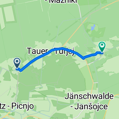
Other popular routes starting in Tauer
 Teerofen 9C, Tauer nach Am Pinnower See 3, Schenkendöbern
- Distance
- 9.8 km
- Ascent
- 12 m
- Descent
- 12 m
- Location
- Tauer, Brandenburg, Germany
 Hauptstraße 39, Tauer nach Hauptstraße 2A, Peitz
- Distance
- 7 km
- Ascent
- 7 m
- Descent
- 6 m
- Location
- Tauer, Brandenburg, Germany
 Drewitz
- Distance
- 8.8 km
- Ascent
- 9 m
- Descent
- 3 m
- Location
- Tauer, Brandenburg, Germany
 Peitz - Dissen
- Distance
- 39 km
- Ascent
- 68 m
- Descent
- 74 m
- Location
- Tauer, Brandenburg, Germany
 Dorfstraße 10, Tauer nach Hauptstraße 55, Schenkendöbern
- Distance
- 18.8 km
- Ascent
- 49 m
- Descent
- 37 m
- Location
- Tauer, Brandenburg, Germany
 Tauer-Drewitz-Kerkwitz-Taubendorf-Sacro-Hasow-Peitz-Tauer
- Distance
- 90.7 km
- Ascent
- 101 m
- Descent
- 101 m
- Location
- Tauer, Brandenburg, Germany
 Schönhöher Straße 6, Turnow-Preilack nach Dorfstraße, Jänschwalde
- Distance
- 7.5 km
- Ascent
- 27 m
- Descent
- 22 m
- Location
- Tauer, Brandenburg, Germany
 Dorfstraße 3, Tauer nach Damaschkestraße 41A, Guben
- Distance
- 20.4 km
- Ascent
- 46 m
- Descent
- 44 m
- Location
- Tauer, Brandenburg, Germany
Open it in the app