Uvoľnená trasa
- 8.4 km
- 279 m
- 216 m
- Levice, Nitra Region, Slovakia
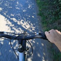
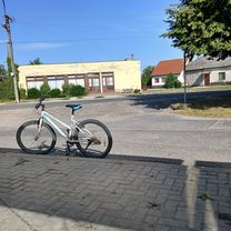
A cycling route starting in Levice, Nitra Region, Slovakia.
Overview
created this 4 years ago
Route quality
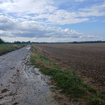
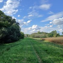
Track
29.8 km
(62 %)
Road
8.2 km
(17 %)
Paved
12 km
(25 %)
Unpaved
26.5 km
(55 %)
Unpaved (undefined)
16.8 km
(35 %)
Asphalt
10.1 km
(21 %)
Route highlights
Rozhľadňa
Koliba
Starý Mlyn
Kemping Vodník
Lodenica
Koliba
Koliba
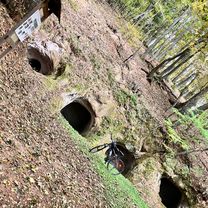
Tank - pamätník 2. svetovej vojny
Benzinka
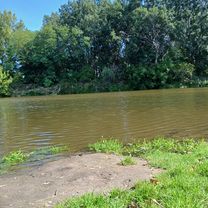
Priehrada
Most
Ohnisko
Priehrada
Rybochod
Perec
Priehrada
Continue with Bikemap
You would like to ride LV - Júr nad Hronom - V. N. Kozmálovce - LV or customize it for your own trip? Here is what you can do with this Bikemap route:
Free trial for 3 days, or one-time payment. More about Bikemap Premium.
Discover more Premium features.
Get Bikemap PremiumFrom our community
Open it in the app