

Bund Naturschutzgarten - Stadelner Wasserrad und zurück
A cycling route starting in Fürth, Bavaria, Germany.
Overview
About this route
Tour as part of Stadtradeln to the Stadelner water wheel and back
- -:--
- Duration
- 11.1 km
- Distance
- 44 m
- Ascent
- 42 m
- Descent
- ---
- Avg. speed
- ---
- Max. altitude

Route quality
Waytypes & surfaces along the route
Waytypes
Path
9 km
(81 %)
Road
1.3 km
(12 %)
Surfaces
Paved
10.9 km
(98 %)
Unpaved
0.2 km
(2 %)
Asphalt
10.9 km
(98 %)
Gravel
0.1 km
(1 %)
Sand
0.1 km
(1 %)
Continue with Bikemap
Use, edit, or download this cycling route
You would like to ride Bund Naturschutzgarten - Stadelner Wasserrad und zurück or customize it for your own trip? Here is what you can do with this Bikemap route:
Free features
- Save this route as favorite or in collections
- Copy & plan your own version of this route
- Sync your route with Garmin or Wahoo
Premium features
Free trial for 3 days, or one-time payment. More about Bikemap Premium.
- Navigate this route on iOS & Android
- Export a GPX / KML file of this route
- Create your custom printout (try it for free)
- Download this route for offline navigation
Discover more Premium features.
Get Bikemap PremiumFrom our community
Other popular routes starting in Fürth
 Cadolzburg-Veitsbronn-Tour
- Distance
- 39.1 km
- Ascent
- 235 m
- Descent
- 235 m
- Location
- Fürth, Bavaria, Germany
 Stadeln - gemütliche gemischte Dreistädtetour
- Distance
- 19.1 km
- Ascent
- 122 m
- Descent
- 119 m
- Location
- Fürth, Bavaria, Germany
 Stadeln - gemütliche gemischte Dreistädtetour
- Distance
- 19.1 km
- Ascent
- 142 m
- Descent
- 140 m
- Location
- Fürth, Bavaria, Germany
 Thomas-Mann-Straße 10, Fürth nach Thomas-Mann-Straße 5, Fürth
- Distance
- 25 km
- Ascent
- 65 m
- Descent
- 69 m
- Location
- Fürth, Bavaria, Germany
 Stadeln - Irrhain - Stadeln
- Distance
- 31.6 km
- Ascent
- 119 m
- Descent
- 119 m
- Location
- Fürth, Bavaria, Germany
 Bund Naturschutzgarten - Stadelner Wasserrad und zurück
- Distance
- 11.1 km
- Ascent
- 44 m
- Descent
- 42 m
- Location
- Fürth, Bavaria, Germany
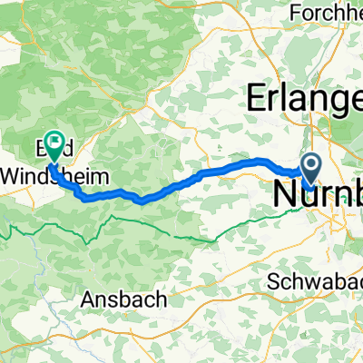 Fürth Hbf - Bad Windsheim Martin-Luther-Platz
- Distance
- 54.1 km
- Ascent
- 336 m
- Descent
- 304 m
- Location
- Fürth, Bavaria, Germany
 Hausrunde 60km
- Distance
- 57.8 km
- Ascent
- 568 m
- Descent
- 573 m
- Location
- Fürth, Bavaria, Germany
Open it in the app