Rue du Ème Ric nach Rue du Port
- 21.2 km
- 56 m
- 51 m
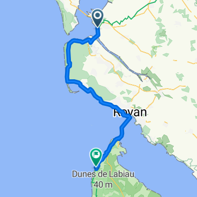
- Marennes, Nouvelle-Aquitaine, France
A cycling route starting in Marennes, Nouvelle-Aquitaine, France.
Overview
42 km circuit starting from the beautiful fortified town of Brouage through the marshes and countryside between Seudre and Charente. Passing by the Canal de Broue, along the Seudre canal to the Charente, Saint-Agnant, Échillais (at this point a housing development is under construction on the route, it will need to be bypassed once completed), the banks of the Charente near the Martrou transporter bridge which connects Rochefort and is due for renovation, Saint-Froult, the sands of Plaisance bordering the ocean and the Brouage marshes nature reserve. Wide tracks, some paved sections, a passage through tall grass (the path exists). Numerous wading birds and cows grazing in the marsh meadows. The circuit is best done in summer preferably early morning or late in the day, as the sun can be intense... Thierry
created this 9 years ago
Continue with Bikemap
You would like to ride Tracé actuel: 21 JUIL 2016 16:11 or customize it for your own trip? Here is what you can do with this Bikemap route:
Free trial for 3 days, or one-time payment. More about Bikemap Premium.
Discover more Premium features.
Get Bikemap PremiumFrom our community
Open it in the app