- 10.4 km
- 31 m
- 67 m
- Long Itchington, England, United Kingdom
Route 4 (Stonebridge Lane)
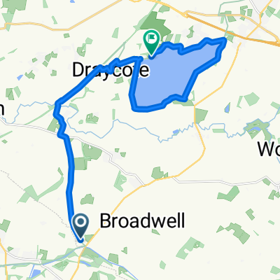
A cycling route starting in Long Itchington, England, United Kingdom.
Overview
About this route
Start: Newbold Comyn, Leamington Spa
Finish: The Green, Long Itchington
Route: NCN Route 41 Cycle Path, Radford Road crossing point, Canal towpath, Offchurch Greenway (disused railway line), Offchurch Lane, Fosse Way crossing, Stonebridge Lane, Long Itchington, Church Road, (The Green / Duck Pond)
- -:--
- Duration
- 10.1 km
- Distance
- 48 m
- Ascent
- 64 m
- Descent
- ---
- Avg. speed
- ---
- Max. altitude
created this 4 years ago
Route quality
Waytypes & surfaces along the route
Waytypes
Cycleway
4.4 km
(44 %)
Quiet road
3 km
(30 %)
Surfaces
Paved
1.3 km
(13 %)
Unpaved
2.2 km
(22 %)
Gravel
1.4 km
(14 %)
Asphalt
1.3 km
(13 %)
Continue with Bikemap
Use, edit, or download this cycling route
You would like to ride Route 4 (Stonebridge Lane) or customize it for your own trip? Here is what you can do with this Bikemap route:
Free features
- Save this route as favorite or in collections
- Copy & plan your own version of this route
- Sync your route with Garmin or Wahoo
Premium features
Free trial for 3 days, or one-time payment. More about Bikemap Premium.
- Navigate this route on iOS & Android
- Export a GPX / KML file of this route
- Create your custom printout (try it for free)
- Download this route for offline navigation
Discover more Premium features.
Get Bikemap PremiumFrom our community
Other popular routes starting in Long Itchington
- 2nd bit
- Route 4 (Stonebridge Lane)
- 10.1 km
- 48 m
- 64 m
- Long Itchington, England, United Kingdom
- Leamington Spa to Limestone Hall Lane
- 25 km
- 201 m
- 212 m
- Long Itchington, England, United Kingdom
- 57A Leigh Crescent, Southam to Rhodes House, Northfield Road, Southam
- 4.7 km
- 46 m
- 32 m
- Long Itchington, England, United Kingdom
- globes birthday bike ride
- 56.5 km
- 239 m
- 268 m
- Long Itchington, England, United Kingdom
- to off church via cycle paths
- 13.7 km
- 90 m
- 106 m
- Long Itchington, England, United Kingdom
- Around Draycote Water
- 14.7 km
- 85 m
- 83 m
- Long Itchington, England, United Kingdom
- Calias Lane, Rugby to Asta Court, Chestnut Field, Rugby
- 26 km
- 276 m
- 258 m
- Long Itchington, England, United Kingdom
Open it in the app


