

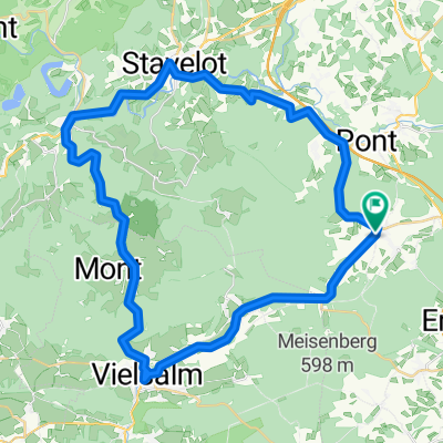
Tour der legendären Steigungen
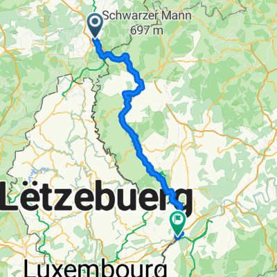
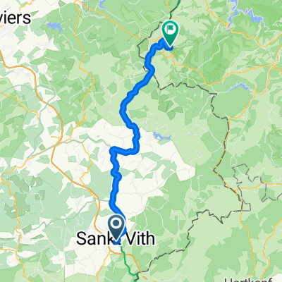
A cycling route starting in Sankt Vith, Wallonia, Belgium.
Overview
About this route
Côte de Mont-le-Soie
Côte de Wanne
Côte des Hézalles
Côte d'Aisomont
Côte de Stockeu
Côte d'Amermont
Côte du Rosier
Côte de Brume
- -:--
- Duration
- 134.7 km
- Distance
- 1,593 m
- Ascent
- 1,593 m
- Descent
- ---
- Avg. speed
- ---
- Max. altitude
Route quality
Waytypes & surfaces along the route
Waytypes
Road
41.8 km
(31 %)
Quiet road
17.5 km
(13 %)
Surfaces
Paved
78.1 km
(58 %)
Unpaved
1.3 km
(1 %)
Asphalt
78.1 km
(58 %)
Gravel
1.3 km
(1 %)
Undefined
55.2 km
(41 %)
Continue with Bikemap
Use, edit, or download this cycling route
You would like to ride Tour der legendären Steigungen or customize it for your own trip? Here is what you can do with this Bikemap route:
Free features
- Save this route as favorite or in collections
- Copy & plan your own version of this route
- Split it into stages to create a multi-day tour
- Sync your route with Garmin or Wahoo
Premium features
Free trial for 3 days, or one-time payment. More about Bikemap Premium.
- Navigate this route on iOS & Android
- Export a GPX / KML file of this route
- Create your custom printout (try it for free)
- Download this route for offline navigation
Discover more Premium features.
Get Bikemap PremiumFrom our community
Other popular routes starting in Sankt Vith
 TW-Etape 5 Saint-Vith - Eupen
- Distance
- 53.1 km
- Ascent
- 401 m
- Descent
- 517 m
- Location
- Sankt Vith, Wallonia, Belgium
 Route to Wasserbillig
- Distance
- 105.6 km
- Ascent
- 1,583 m
- Descent
- 1,917 m
- Location
- Sankt Vith, Wallonia, Belgium
 Vielsalm - Beho - Maldingen - Crombach - Rodt - Skihütte
- Distance
- 44.4 km
- Ascent
- 399 m
- Descent
- 399 m
- Location
- Sankt Vith, Wallonia, Belgium
 L46 (3101) Steinebrück - Pronsfeld
- Distance
- 18.2 km
- Ascent
- 154 m
- Descent
- 161 m
- Location
- Sankt Vith, Wallonia, Belgium
 stukje vennbahn sankt vith Roel2
- Distance
- 52 km
- Ascent
- 520 m
- Descent
- 520 m
- Location
- Sankt Vith, Wallonia, Belgium
 4 Day St. Vith Pip Margraff - Clervaux Koener
- Distance
- 52.1 km
- Ascent
- 386 m
- Descent
- 507 m
- Location
- Sankt Vith, Wallonia, Belgium
 Vennbahn: Day 2 - Saint Vith to Monschau
- Distance
- 46.5 km
- Ascent
- 417 m
- Descent
- 485 m
- Location
- Sankt Vith, Wallonia, Belgium
 Vielsalm - Trois-Ponts - Stavelot
- Distance
- 45.6 km
- Ascent
- 381 m
- Descent
- 381 m
- Location
- Sankt Vith, Wallonia, Belgium
Open it in the app