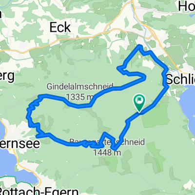
Schliersee - Tegernsee
- 23.2 km
- 925 m
- 925 m
- Schliersee, Bavaria, Germany
A cycling route starting in Schliersee, Bavaria, Germany.
Overview
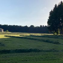
Climbing up to Spitzingssee is quite a challenge if you are on the forest path. When you then walk west along the Obere-Forstalm path, it almost feels like a recovery. After the alpine pasture, you can then push yourself to the limit of your footwear and zoom down. (Hiked in 2.5 hours)
created this 18 years ago
Route highlights
Forstalm
Continue with Bikemap
You would like to ride Schliersee südliche Runde über Spitzingsee or customize it for your own trip? Here is what you can do with this Bikemap route:
Free trial for 3 days, or one-time payment. More about Bikemap Premium.
Discover more Premium features.
Get Bikemap PremiumFrom our community
Open it in the app