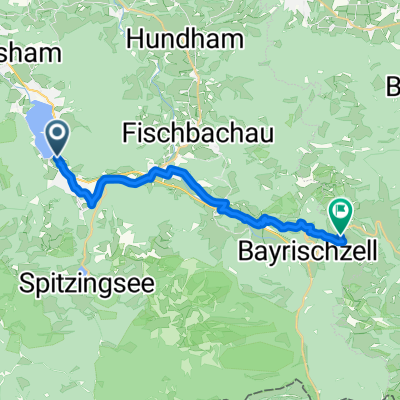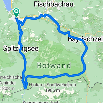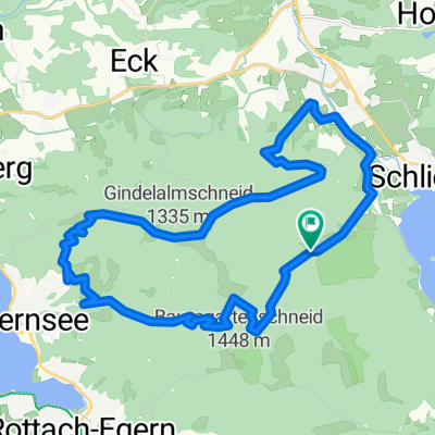
Schliersee - Tegernsee
- 23.2 km
- 925 m
- 925 m
- Schliersee, Bavaria, Germany
A cycling route starting in Schliersee, Bavaria, Germany.
Overview
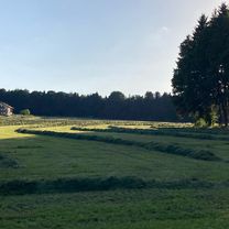
Aside from the fact that in the middle of summer hail made small holes in my skin, without having any shelter (ouch), the road to Tazelwurm was just a worm, just as you imagine a millipede. Infinitely long, without knowing when one will finally arrive at the top. Who gasped louder, me or the woman behind me, is no longer determinable in my ongoing delirium.
created this 18 years ago
Route quality
Quiet road
16.4 km
(24 %)
Road
12.3 km
(18 %)
Paved
60.7 km
(89 %)
Unpaved
4.8 km
(7 %)
Asphalt
60.7 km
(89 %)
Gravel
1.4 km
(2 %)
Route highlights
Continue with Bikemap
You would like to ride D_SüdBayern_Schliersee-um-Wendelsteingebirge or customize it for your own trip? Here is what you can do with this Bikemap route:
Free trial for 3 days, or one-time payment. More about Bikemap Premium.
Discover more Premium features.
Get Bikemap PremiumFrom our community
Open it in the app