Chemnitzumrundung RR
A cycling route starting in Wittgensdorf, Saxony, Germany.
Overview
About this route
Schöne Umrundung von Chemnitz auf zum größten Teil abgelegenen Straßen.
- -:--
- Duration
- 70.8 km
- Distance
- 669 m
- Ascent
- 669 m
- Descent
- ---
- Avg. speed
- ---
- Avg. speed
Route quality
Waytypes & surfaces along the route
Waytypes
Undefined
70.8 km
(100 %)
Surfaces
Undefined
70.8 km
(100 %)
Continue with Bikemap
Use, edit, or download this cycling route
You would like to ride Chemnitzumrundung RR or customize it for your own trip? Here is what you can do with this Bikemap route:
Free features
- Save this route as favorite or in collections
- Copy & plan your own version of this route
- Sync your route with Garmin or Wahoo
Premium features
Free trial for 3 days, or one-time payment. More about Bikemap Premium.
- Navigate this route on iOS & Android
- Export a GPX / KML file of this route
- Create your custom printout (try it for free)
- Download this route for offline navigation
Discover more Premium features.
Get Bikemap PremiumFrom our community
Other popular routes starting in Wittgensdorf
- Crimmitschauer-Küchwald-Strecke (S01)
- Distance
- 6.6 km
- Ascent
- 97 m
- Descent
- 109 m
- Location
- Wittgensdorf, Saxony, Germany
- Chemnitzumrundung RR
- Distance
- 70.8 km
- Ascent
- 669 m
- Descent
- 669 m
- Location
- Wittgensdorf, Saxony, Germany
- RK Rabenstein(Totenstein) - Mittelbach - Neukirchen - Klaffenbach
- Distance
- 43.5 km
- Ascent
- 312 m
- Descent
- 313 m
- Location
- Wittgensdorf, Saxony, Germany
- 2. DGT Radtour Wittgensdorf - Muldetal - Wittgensdorf
- Distance
- 47.4 km
- Ascent
- 313 m
- Descent
- 314 m
- Location
- Wittgensdorf, Saxony, Germany
- Chemnitz Tour
- Distance
- 29.8 km
- Ascent
- 232 m
- Descent
- 239 m
- Location
- Wittgensdorf, Saxony, Germany
- gute Grundlagenrunde, nur leichte, kurze Steigungen
- Distance
- 45.7 km
- Ascent
- 331 m
- Descent
- 288 m
- Location
- Wittgensdorf, Saxony, Germany
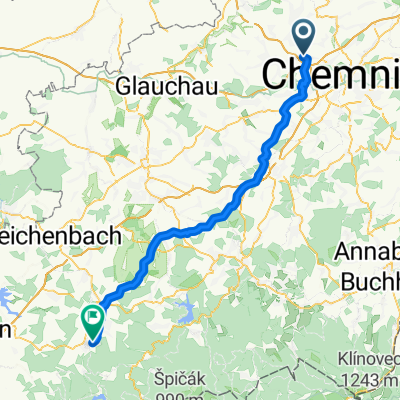
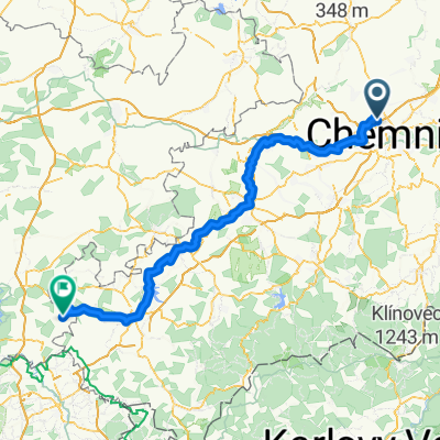
- Kleine Chemnitztalrunde
- Distance
- 52.6 km
- Ascent
- 314 m
- Descent
- 314 m
- Location
- Wittgensdorf, Saxony, Germany
- MTB_Mittweida
- Distance
- 47 km
- Ascent
- 653 m
- Descent
- 652 m
- Location
- Wittgensdorf, Saxony, Germany