

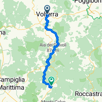
Roncolla-Pignano-Ulignano-Prato d'Era
A cycling route starting in Volterra, Tuscany, Italy.
Overview
About this route
- -:--
- Duration
- 45.6 km
- Distance
- 737 m
- Ascent
- 728 m
- Descent
- ---
- Avg. speed
- ---
- Max. altitude

Route photos


Route quality
Waytypes & surfaces along the route
Waytypes
Track
15 km
(33 %)
Quiet road
10.9 km
(24 %)
Surfaces
Paved
14.1 km
(31 %)
Unpaved
26 km
(57 %)
Gravel
19.6 km
(43 %)
Asphalt
14.1 km
(31 %)
Continue with Bikemap
Use, edit, or download this cycling route
You would like to ride Roncolla-Pignano-Ulignano-Prato d'Era or customize it for your own trip? Here is what you can do with this Bikemap route:
Free features
- Save this route as favorite or in collections
- Copy & plan your own version of this route
- Sync your route with Garmin or Wahoo
Premium features
Free trial for 3 days, or one-time payment. More about Bikemap Premium.
- Navigate this route on iOS & Android
- Export a GPX / KML file of this route
- Create your custom printout (try it for free)
- Download this route for offline navigation
Discover more Premium features.
Get Bikemap PremiumFrom our community
Other popular routes starting in Volterra
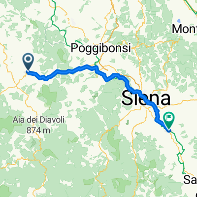 Volterra - Monteroni d'Arbia
- Distance
- 69.2 km
- Ascent
- 645 m
- Descent
- 997 m
- Location
- Volterra, Tuscany, Italy
 San Gimignano - Bibbona
- Distance
- 67.9 km
- Ascent
- 2,121 m
- Descent
- 2,294 m
- Location
- Volterra, Tuscany, Italy
 Von Volterra bis Sovicille
- Distance
- 54.8 km
- Ascent
- 1,468 m
- Descent
- 1,766 m
- Location
- Volterra, Tuscany, Italy
 Via Giacomo Matteotti, Volterra à Piazza Umberto I, San Vincenzo
- Distance
- 72.8 km
- Ascent
- 1,046 m
- Descent
- 1,577 m
- Location
- Volterra, Tuscany, Italy
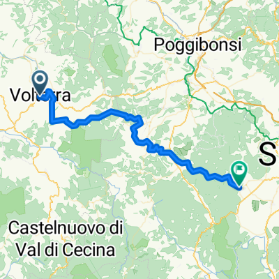
 Cecina 3: Voltera - San Gimignano
- Distance
- 57.8 km
- Ascent
- 1,039 m
- Descent
- 1,027 m
- Location
- Volterra, Tuscany, Italy
 Roncolla-Pignano-Ulignano-Prato d'Era
- Distance
- 45.6 km
- Ascent
- 737 m
- Descent
- 728 m
- Location
- Volterra, Tuscany, Italy
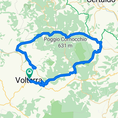
 Volterra - San Gigmignano - Volterra 58 km 1360 hm
- Distance
- 60.4 km
- Ascent
- 1,282 m
- Descent
- 1,279 m
- Location
- Volterra, Tuscany, Italy
 Itinéraire vers Via della Principessa, San Vincenzo
- Distance
- 68.4 km
- Ascent
- 663 m
- Descent
- 1,185 m
- Location
- Volterra, Tuscany, Italy
Open it in the app