- 46.2 km
- 527 m
- 540 m
- Drolshagen, North Rhine-Westphalia, Germany
Die Bigge flussaufwärts bis zur Quelle
A cycling route starting in Drolshagen, North Rhine-Westphalia, Germany.
Overview
About this route
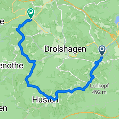
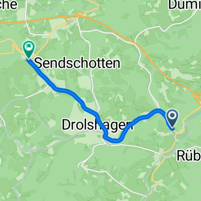
Start and finish for this tour is the fairground in Heidberg. From here it initially goes uphill, passing two fish ponds, towards Hahn and after crossing the A45 parallel to the next crossing. Now we follow the path marked with X (Hiking Trail of German Unity) over the Jägerfichte down to Rüblinghausen. Now we turn right and follow the cycle path along the Bigge upstream to Saßmicke. Here, the A45 is crossed twice to continue following the cycle path to Gerlingen. In Gerlingen we come to Bahnhofstraße. We follow this to the left until the traffic signal intersection, then turn right for about 300 m on the L512 towards Rothemühle. Immediately before the highway bridge, we sharp right and continue on the cycle path to the pedestrian signal. After crossing the L512 we follow the cycle path past Wendenerhütte over Vahlberg to Ottfingen. In Ottfingen, we first follow the Baustraße and then upward along Von-Galen-Straße until we turn left into Wilhelm-Tell-Straße. We follow it to a large forest, behind which we follow the path down to the L512. After crossing, we ride on lonely forest paths, passing by the Olpe-Siegen golf facility, until we reach the "Street of Work" marked with "W". We continue on over Römershagen, Trömbach to the village of Hardt. In the village center we turn sharply left and take a shortcut (nice trail) down to the L342. After crossing, we follow the hiking path A3 (steep ascent) up to Borner and further along the X12 hiking trail over Euel back to the start.
- -:--
- Duration
- 37.5 km
- Distance
- 384 m
- Ascent
- 384 m
- Descent
- ---
- Avg. speed
- ---
- Max. altitude
created this 17 years ago
Continue with Bikemap
Use, edit, or download this cycling route
You would like to ride Die Bigge flussaufwärts bis zur Quelle or customize it for your own trip? Here is what you can do with this Bikemap route:
Free features
- Save this route as favorite or in collections
- Copy & plan your own version of this route
- Sync your route with Garmin or Wahoo
Premium features
Free trial for 3 days, or one-time payment. More about Bikemap Premium.
- Navigate this route on iOS & Android
- Export a GPX / KML file of this route
- Create your custom printout (try it for free)
- Download this route for offline navigation
Discover more Premium features.
Get Bikemap PremiumFrom our community
Other popular routes starting in Drolshagen
- Lister-BiggeseeRundfahrt
- Eichen Hützemert über Iseringhausen-Husten-Benolpe-Belmicke
- 15.3 km
- 297 m
- 189 m
- Drolshagen, North Rhine-Westphalia, Germany
- Eichen-Drolshagen-Wegeringhausen
- 7.3 km
- 118 m
- 16 m
- Drolshagen, North Rhine-Westphalia, Germany
- Tour 03 Sauerland
- 93 km
- 776 m
- 778 m
- Drolshagen, North Rhine-Westphalia, Germany
- Bigge
- 36.7 km
- 358 m
- 358 m
- Drolshagen, North Rhine-Westphalia, Germany
- Belmicke-Listertalsperre
- 49.3 km
- 745 m
- 787 m
- Drolshagen, North Rhine-Westphalia, Germany
- Panoramatour Hespert-Jägerfichte
- 31.9 km
- 536 m
- 536 m
- Drolshagen, North Rhine-Westphalia, Germany
- Dümpel-Agger-Lieberhausen-Hützemert
- 33.3 km
- 690 m
- 689 m
- Drolshagen, North Rhine-Westphalia, Germany
Open it in the app


