
E Enduro Mont d'Or Series - 31933 - UtagawaVTT.com
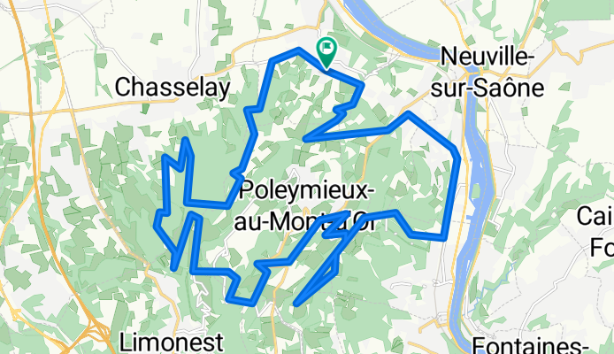
A cycling route starting in Chasselay, Auvergne-Rhône-Alpes, France.
Overview
About this route
- 6 h 43 min
- Duration
- 30.3 km
- Distance
- 1,289 m
- Ascent
- 1,288 m
- Descent
- 4.5 km/h
- Avg. speed
- ---
- Max. altitude

Route quality
Waytypes & surfaces along the route
Waytypes
Path
14 km
(46 %)
Quiet road
7 km
(23 %)
Surfaces
Paved
3 km
(10 %)
Unpaved
3.6 km
(12 %)
Asphalt
3 km
(10 %)
Ground
2.7 km
(9 %)
Continue with Bikemap
Use, edit, or download this cycling route
You would like to ride E Enduro Mont d'Or Series - 31933 - UtagawaVTT.com or customize it for your own trip? Here is what you can do with this Bikemap route:
Free features
- Save this route as favorite or in collections
- Copy & plan your own version of this route
- Sync your route with Garmin or Wahoo
Premium features
Free trial for 3 days, or one-time payment. More about Bikemap Premium.
- Navigate this route on iOS & Android
- Export a GPX / KML file of this route
- Create your custom printout (try it for free)
- Download this route for offline navigation
Discover more Premium features.
Get Bikemap PremiumFrom our community
Other popular routes starting in Chasselay
 VTT Chasselay Bis
- Distance
- 16.5 km
- Ascent
- 480 m
- Descent
- 478 m
- Location
- Chasselay, Auvergne-Rhône-Alpes, France
 VTT Chasselay
- Distance
- 15.6 km
- Ascent
- 513 m
- Descent
- 509 m
- Location
- Chasselay, Auvergne-Rhône-Alpes, France
 E Enduro Mont d'Or Series - 31933 - UtagawaVTT.com
- Distance
- 30.3 km
- Ascent
- 1,289 m
- Descent
- 1,288 m
- Location
- Chasselay, Auvergne-Rhône-Alpes, France
 De la Croix Rampeau à St-Romain aux Monts d'or (69)
- Distance
- 11.2 km
- Ascent
- 292 m
- Descent
- 566 m
- Location
- Chasselay, Auvergne-Rhône-Alpes, France
 Chasselay - Mt D'or Loop
- Distance
- 13.7 km
- Ascent
- 393 m
- Descent
- 393 m
- Location
- Chasselay, Auvergne-Rhône-Alpes, France
 Baujolais
- Distance
- 106.8 km
- Ascent
- 771 m
- Descent
- 768 m
- Location
- Chasselay, Auvergne-Rhône-Alpes, France
 st germain -lyon
- Distance
- 23.5 km
- Ascent
- 96 m
- Descent
- 138 m
- Location
- Chasselay, Auvergne-Rhône-Alpes, France
 baujolais
- Distance
- 108 km
- Ascent
- 695 m
- Descent
- 690 m
- Location
- Chasselay, Auvergne-Rhône-Alpes, France
Open it in the app