

Wienerwaldtrails Troppberg-Strecke II
A cycling route starting in Gablitz, Lower Austria, Austria.
Overview
About this route
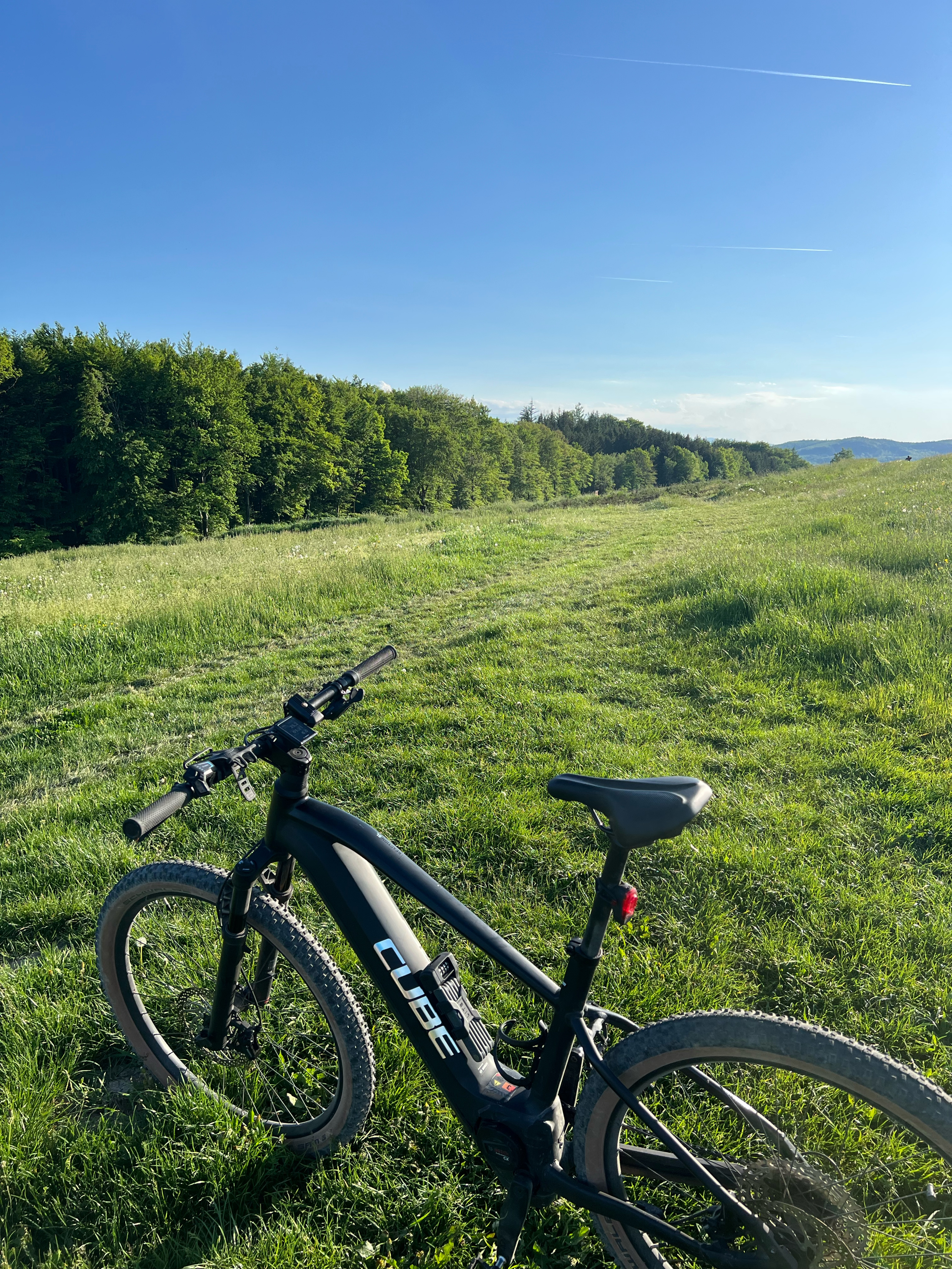
Der Troppberg zwischen Gablitz, Purkersdorf und Rekawinkel gehört zu einer der schönsten Bergen-nicht nur der herrlichen Aussicht wegen; auch seine lichtdurchfluteten Buchenwälder, die Stille auf seinen Wegen und die über weite Strecken intakte Natur machen ihn zu einem absoluten Geheimtipp.
- -:--
- Duration
- 28.2 km
- Distance
- 690 m
- Ascent
- 688 m
- Descent
- ---
- Avg. speed
- ---
- Max. altitude
Route quality
Waytypes & surfaces along the route
Waytypes
Track
19.3 km
(68 %)
Road
3.3 km
(12 %)
Surfaces
Paved
5.6 km
(20 %)
Unpaved
21.9 km
(78 %)
Gravel
10.2 km
(36 %)
Loose gravel
5.7 km
(20 %)
Continue with Bikemap
Use, edit, or download this cycling route
You would like to ride Wienerwaldtrails Troppberg-Strecke II or customize it for your own trip? Here is what you can do with this Bikemap route:
Free features
- Save this route as favorite or in collections
- Copy & plan your own version of this route
- Sync your route with Garmin or Wahoo
Premium features
Free trial for 3 days, or one-time payment. More about Bikemap Premium.
- Navigate this route on iOS & Android
- Export a GPX / KML file of this route
- Create your custom printout (try it for free)
- Download this route for offline navigation
Discover more Premium features.
Get Bikemap PremiumFrom our community
Other popular routes starting in Gablitz
 Gablitz - Herrmannskogel - Prater - Vienna City - Schoenbrunn - Gablitz
- Distance
- 60.5 km
- Ascent
- 968 m
- Descent
- 973 m
- Location
- Gablitz, Lower Austria, Austria
 Gablitz - Irenental - Wienerwald - Troppberg - Riederberg
- Distance
- 51.4 km
- Ascent
- 1,310 m
- Descent
- 1,324 m
- Location
- Gablitz, Lower Austria, Austria
 Wienerwaldtrails Troppberg-Strecke II
- Distance
- 28.2 km
- Ascent
- 690 m
- Descent
- 688 m
- Location
- Gablitz, Lower Austria, Austria
 Gablitz / Irene Tal - cross
- Distance
- 33.7 km
- Ascent
- 1,006 m
- Descent
- 1,019 m
- Location
- Gablitz, Lower Austria, Austria
 Gablitz - Troppberg - Irenental - Riederberg - Tulbingerkogel
- Distance
- 34.6 km
- Ascent
- 1,042 m
- Descent
- 1,016 m
- Location
- Gablitz, Lower Austria, Austria
 Laabach 1, Gablitz nach Laabach 1, Gablitz
- Distance
- 38.1 km
- Ascent
- 837 m
- Descent
- 837 m
- Location
- Gablitz, Lower Austria, Austria
 Hirschengarten I
- Distance
- 14.1 km
- Ascent
- 238 m
- Descent
- 187 m
- Location
- Gablitz, Lower Austria, Austria
 Wienerwald / Gablitz / Mirli / Tullnerbach / Troppberg
- Distance
- 30.9 km
- Ascent
- 944 m
- Descent
- 941 m
- Location
- Gablitz, Lower Austria, Austria
Open it in the app