
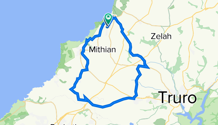
Perranporth Cycling
A cycling route starting in Perranporth, England, United Kingdom.
Overview
About this route
EDGE 1030®
- -:--
- Duration
- 35.5 km
- Distance
- 633 m
- Ascent
- 643 m
- Descent
- ---
- Avg. speed
- ---
- Max. altitude
Brian Fisher
created this 4 years ago
Route quality
Waytypes & surfaces along the route
Waytypes
Quiet road
22 km
(62 %)
Road
5.3 km
(15 %)
Surfaces
Paved
11.7 km
(33 %)
Unpaved
2.1 km
(6 %)
Asphalt
11.7 km
(33 %)
Gravel
2.1 km
(6 %)
Undefined
21.7 km
(61 %)
Continue with Bikemap
Use, edit, or download this cycling route
You would like to ride Perranporth Cycling or customize it for your own trip? Here is what you can do with this Bikemap route:
Free features
- Save this route as favorite or in collections
- Copy & plan your own version of this route
- Sync your route with Garmin or Wahoo
Premium features
Free trial for 3 days, or one-time payment. More about Bikemap Premium.
- Navigate this route on iOS & Android
- Export a GPX / KML file of this route
- Create your custom printout (try it for free)
- Download this route for offline navigation
Discover more Premium features.
Get Bikemap PremiumFrom our community
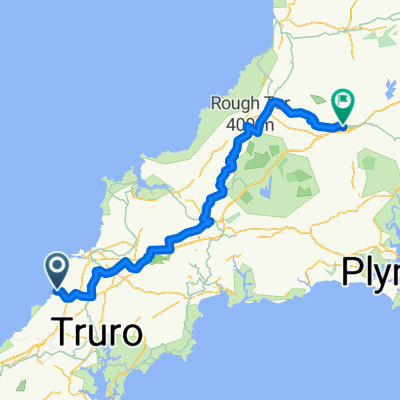
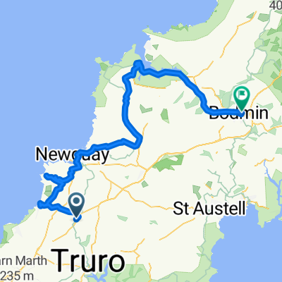
Other popular routes starting in Perranporth
- Rattler Pro Ride 50 Mile (2018)
- 82.4 km
- 1,350 m
- 1,351 m
- Perranporth, England, United Kingdom
- JOGLE AB day 16 47 miles
- 76 km
- 611 m
- 570 m
- Perranporth, England, United Kingdom
- 02 - Perranporth to Launceston
- 99.8 km
- 786 m
- 698 m
- Perranporth, England, United Kingdom
- Day 1: St Agnes-Zelah-Hayle
- 46 km
- 683 m
- 712 m
- Perranporth, England, United Kingdom
- BLue Hil
- 32.7 km
- 439 m
- 440 m
- Perranporth, England, United Kingdom
- Treworthal Close 1, Goonhavern to Zelah Bypass
- 4.1 km
- 75 m
- 91 m
- Perranporth, England, United Kingdom
- Directions from Hawkins Arms to Rhind Street, Bodmin
- 75.9 km
- 555 m
- 529 m
- Perranporth, England, United Kingdom


Open it in the app