
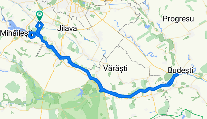
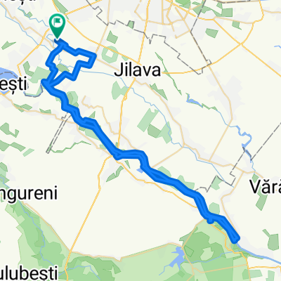
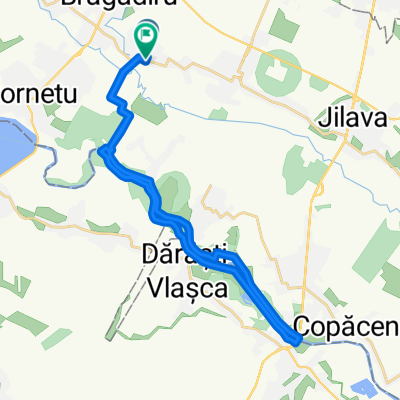
Arges River
A cycling route starting in Vârteju, Ilfov, Romania.
Overview
About this route
A cross country ride.
- -:--
- Duration
- 116.3 km
- Distance
- 56 m
- Ascent
- 59 m
- Descent
- ---
- Avg. speed
- ---
- Max. altitude

Continue with Bikemap
Use, edit, or download this cycling route
You would like to ride Arges River or customize it for your own trip? Here is what you can do with this Bikemap route:
Free features
- Save this route as favorite or in collections
- Copy & plan your own version of this route
- Split it into stages to create a multi-day tour
- Sync your route with Garmin or Wahoo
Premium features
Free trial for 3 days, or one-time payment. More about Bikemap Premium.
- Navigate this route on iOS & Android
- Export a GPX / KML file of this route
- Create your custom printout (try it for free)
- Download this route for offline navigation
Discover more Premium features.
Get Bikemap PremiumFrom our community
Other popular routes starting in Vârteju
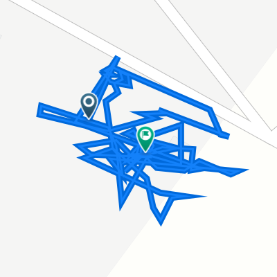
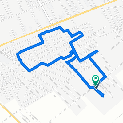
 gym route
- Distance
- 14.5 km
- Ascent
- 29 m
- Descent
- 23 m
- Location
- Vârteju, Ilfov, Romania
 Strada Școlii, Buda to Strada Școlii, Buda
- Distance
- 1 km
- Ascent
- 0 m
- Descent
- 6 m
- Location
- Vârteju, Ilfov, Romania
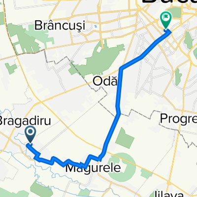
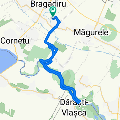
 Magurele - Comana si intoarcere
- Distance
- 97.8 km
- Ascent
- 188 m
- Descent
- 186 m
- Location
- Vârteju, Ilfov, Romania
 19.09.2021
- Distance
- 5.1 km
- Ascent
- 3 m
- Descent
- 0 m
- Location
- Vârteju, Ilfov, Romania
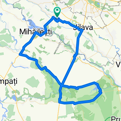
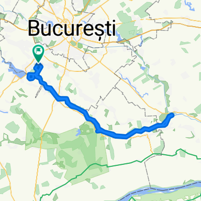
 La malu' Argesului
- Distance
- 69.5 km
- Ascent
- 51 m
- Descent
- 50 m
- Location
- Vârteju, Ilfov, Romania
 Strada Uranus - malul Argesului
- Distance
- 24.4 km
- Ascent
- 36 m
- Descent
- 36 m
- Location
- Vârteju, Ilfov, Romania
 Arges River
- Distance
- 116.3 km
- Ascent
- 56 m
- Descent
- 59 m
- Location
- Vârteju, Ilfov, Romania
 plimbare Varteju
- Distance
- 30 km
- Ascent
- 29 m
- Descent
- 34 m
- Location
- Vârteju, Ilfov, Romania
Open it in the app