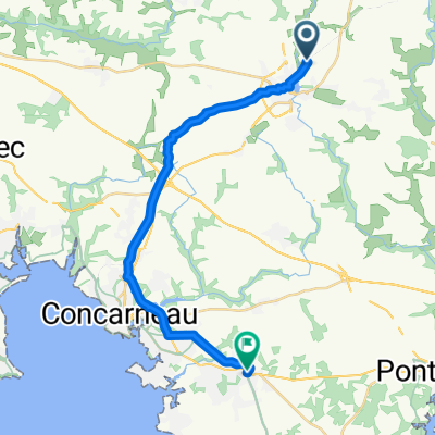
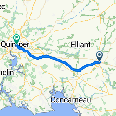
De Névars Izella, Rosporden à Place de la Mairie 9, Trégunc
A cycling route starting in Rosporden, Brittany Region, France.
Overview
About this route
- 1 h 15 min
- Duration
- 20.6 km
- Distance
- 141 m
- Ascent
- 229 m
- Descent
- 16.5 km/h
- Avg. speed
- ---
- Avg. speed
Route quality
Waytypes & surfaces along the route
Waytypes
Quiet road
6.8 km
(33 %)
Path
6.8 km
(33 %)
Surfaces
Paved
5.6 km
(27 %)
Unpaved
7.8 km
(38 %)
Gravel
7.8 km
(38 %)
Asphalt
4.6 km
(22 %)
Continue with Bikemap
Use, edit, or download this cycling route
You would like to ride De Névars Izella, Rosporden à Place de la Mairie 9, Trégunc or customize it for your own trip? Here is what you can do with this Bikemap route:
Free features
- Save this route as favorite or in collections
- Copy & plan your own version of this route
- Sync your route with Garmin or Wahoo
Premium features
Free trial for 3 days, or one-time payment. More about Bikemap Premium.
- Navigate this route on iOS & Android
- Export a GPX / KML file of this route
- Create your custom printout (try it for free)
- Download this route for offline navigation
Discover more Premium features.
Get Bikemap PremiumFrom our community
Other popular routes starting in Rosporden
- Rosporeden - Carhaix
- Distance
- 49.9 km
- Ascent
- 282 m
- Descent
- 260 m
- Location
- Rosporden, Brittany Region, France
- j2-Rosporden-Gourin
- Distance
- 26.7 km
- Ascent
- 193 m
- Descent
- 169 m
- Location
- Rosporden, Brittany Region, France
- De 1 Rue Nationale, Rosporden à 1 Chemin de Kerivoal, Plogonnec
- Distance
- 30.8 km
- Ascent
- 106 m
- Descent
- 223 m
- Location
- Rosporden, Brittany Region, France
- greenway
- Distance
- 129.2 km
- Ascent
- 1,245 m
- Descent
- 1,356 m
- Location
- Rosporden, Brittany Region, France
- De 144 Coat Canton, Rosporden à 2 Rue Amiral Courbet, Concarneau
- Distance
- 15.4 km
- Ascent
- 76 m
- Descent
- 207 m
- Location
- Rosporden, Brittany Region, France
- Rosporden-Lesconil
- Distance
- 65.7 km
- Ascent
- 158 m
- Descent
- 280 m
- Location
- Rosporden, Brittany Region, France
- BB J4
- Distance
- 66.8 km
- Ascent
- 470 m
- Descent
- 568 m
- Location
- Rosporden, Brittany Region, France
- Rue de la Gare de Kernevel 11, Rosporden to Rue de la Mairie 23, Guengat
- Distance
- 45.5 km
- Ascent
- 610 m
- Descent
- 618 m
- Location
- Rosporden, Brittany Region, France
Open it in the app