

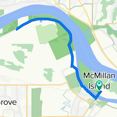
fort langley alternate
A cycling route starting in Walnut Grove, British Columbia, Canada.
Overview
About this route
- -:--
- Duration
- 49.2 km
- Distance
- 237 m
- Ascent
- 241 m
- Descent
- ---
- Avg. speed
- ---
- Max. altitude

Route quality
Waytypes & surfaces along the route
Waytypes
Road
26.6 km
(54 %)
Quiet road
6.4 km
(13 %)
Surfaces
Paved
20.2 km
(41 %)
Asphalt
20.2 km
(41 %)
Undefined
29 km
(59 %)
Continue with Bikemap
Use, edit, or download this cycling route
You would like to ride fort langley alternate or customize it for your own trip? Here is what you can do with this Bikemap route:
Free features
- Save this route as favorite or in collections
- Copy & plan your own version of this route
- Sync your route with Garmin or Wahoo
Premium features
Free trial for 3 days, or one-time payment. More about Bikemap Premium.
- Navigate this route on iOS & Android
- Export a GPX / KML file of this route
- Create your custom printout (try it for free)
- Download this route for offline navigation
Discover more Premium features.
Get Bikemap PremiumFrom our community
Other popular routes starting in Walnut Grove
 grand langley route
- Distance
- 56 km
- Ascent
- 357 m
- Descent
- 359 m
- Location
- Walnut Grove, British Columbia, Canada
 Aug 21 2021 Fort Trail
- Distance
- 14.7 km
- Ascent
- 71 m
- Descent
- 72 m
- Location
- Walnut Grove, British Columbia, Canada
 20933 93rd Ave, Langley to 20933 93rd Ave, Langley
- Distance
- 18.5 km
- Ascent
- 132 m
- Descent
- 134 m
- Location
- Walnut Grove, British Columbia, Canada
 Walnut Grove to Abbotsford and Fort Langley
- Distance
- 57.7 km
- Ascent
- 6,978 m
- Descent
- 6,978 m
- Location
- Walnut Grove, British Columbia, Canada
 FL Alternate route
- Distance
- 67.1 km
- Ascent
- 344 m
- Descent
- 348 m
- Location
- Walnut Grove, British Columbia, Canada
 McMillan Island and Fort to Fort via Allard to 208th 25 KM return
- Distance
- 12.7 km
- Ascent
- 106 m
- Descent
- 108 m
- Location
- Walnut Grove, British Columbia, Canada
 22486–22612 88 Ave, Langley to 22011 88 Ave, Langley
- Distance
- 33.9 km
- Ascent
- 23 m
- Descent
- 26 m
- Location
- Walnut Grove, British Columbia, Canada
 fort langley alternate
- Distance
- 49.2 km
- Ascent
- 237 m
- Descent
- 241 m
- Location
- Walnut Grove, British Columbia, Canada
Open it in the app