

P'tites Routes du Soleil : Thonon – Nice (A)
A cycling route starting in Thonon-les-Bains, Auvergne-Rhône-Alpes, France.
Overview
About this route
« A cycle tourist has no ranking, he only has memories... » This phrase by the writer Jean Taboureau well summarizes the spirit of the P’tites Routes du Soleil.
- -:--
- Duration
- 865.5 km
- Distance
- 20,384 m
- Ascent
- 20,803 m
- Descent
- ---
- Avg. speed
- ---
- Max. altitude

Route quality
Waytypes & surfaces along the route
Waytypes
Road
432.8 km
(50 %)
Quiet road
86.6 km
(10 %)
Surfaces
Paved
476 km
(55 %)
Asphalt
476 km
(55 %)
Undefined
389.5 km
(45 %)
Continue with Bikemap
Use, edit, or download this cycling route
You would like to ride P'tites Routes du Soleil : Thonon – Nice (A) or customize it for your own trip? Here is what you can do with this Bikemap route:
Free features
- Save this route as favorite or in collections
- Copy & plan your own version of this route
- Split it into stages to create a multi-day tour
- Sync your route with Garmin or Wahoo
Premium features
Free trial for 3 days, or one-time payment. More about Bikemap Premium.
- Navigate this route on iOS & Android
- Export a GPX / KML file of this route
- Create your custom printout (try it for free)
- Download this route for offline navigation
Discover more Premium features.
Get Bikemap PremiumFrom our community
Other popular routes starting in Thonon-les-Bains
 col de cou
- Distance
- 50.1 km
- Ascent
- 862 m
- Descent
- 862 m
- Location
- Thonon-les-Bains, Auvergne-Rhône-Alpes, France
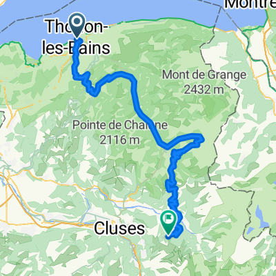 From Thonon-Les-Bains to Samoëns
- Distance
- 103.4 km
- Ascent
- 4,489 m
- Descent
- 3,302 m
- Location
- Thonon-les-Bains, Auvergne-Rhône-Alpes, France
 Thonon - Geneve
- Distance
- 45.3 km
- Ascent
- 194 m
- Descent
- 252 m
- Location
- Thonon-les-Bains, Auvergne-Rhône-Alpes, France
 P'tites Routes du Soleil : Thonon – Nice (A)
- Distance
- 865.5 km
- Ascent
- 20,384 m
- Descent
- 20,803 m
- Location
- Thonon-les-Bains, Auvergne-Rhône-Alpes, France
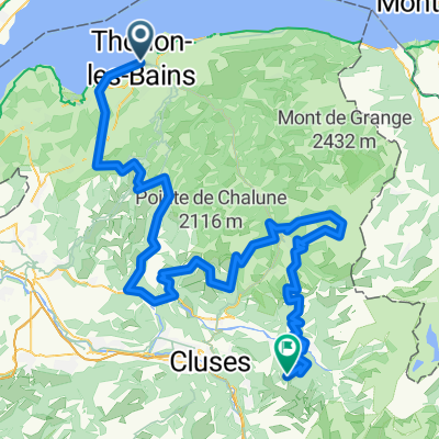 From Thonon-Les-Bains to Samoëns
- Distance
- 152.9 km
- Ascent
- 6,060 m
- Descent
- 4,867 m
- Location
- Thonon-les-Bains, Auvergne-Rhône-Alpes, France
 Thonon - Maladiere - Chateaux - Singles - Thonon!
- Distance
- 23.3 km
- Ascent
- 457 m
- Descent
- 457 m
- Location
- Thonon-les-Bains, Auvergne-Rhône-Alpes, France
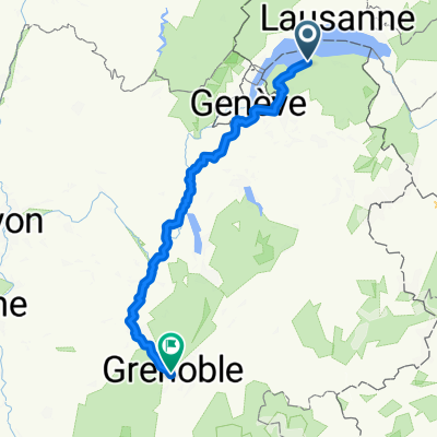 Impasse des Mouettes, Thonon-les-Bains nach Rue Beyle-Stendhal, Grenoble
- Distance
- 228.8 km
- Ascent
- 2,527 m
- Descent
- 2,693 m
- Location
- Thonon-les-Bains, Auvergne-Rhône-Alpes, France
 roc d'enfer
- Distance
- 94.8 km
- Ascent
- 1,701 m
- Descent
- 1,701 m
- Location
- Thonon-les-Bains, Auvergne-Rhône-Alpes, France
Open it in the app