
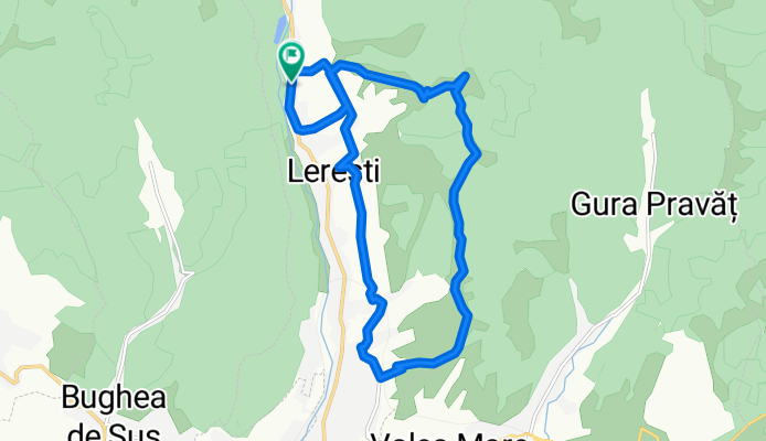
Lereşti Cycling
A cycling route starting in Lereşti, Arges, Romania.
Overview
About this route
FENIX6X®
- -:--
- Duration
- 15.8 km
- Distance
- 472 m
- Ascent
- 472 m
- Descent
- ---
- Avg. speed
- ---
- Max. altitude
Marius Macarescu

created this 4 years ago
Route quality
Waytypes & surfaces along the route
Waytypes
Track
8.4 km
(53 %)
Quiet road
6.2 km
(39 %)
Surfaces
Paved
1.3 km
(8 %)
Unpaved
8.7 km
(55 %)
Ground
5.8 km
(37 %)
Gravel
2.8 km
(18 %)
Continue with Bikemap
Use, edit, or download this cycling route
You would like to ride Lereşti Cycling or customize it for your own trip? Here is what you can do with this Bikemap route:
Free features
- Save this route as favorite or in collections
- Copy & plan your own version of this route
- Sync your route with Garmin or Wahoo
Premium features
Free trial for 3 days, or one-time payment. More about Bikemap Premium.
- Navigate this route on iOS & Android
- Export a GPX / KML file of this route
- Create your custom printout (try it for free)
- Download this route for offline navigation
Discover more Premium features.
Get Bikemap PremiumFrom our community
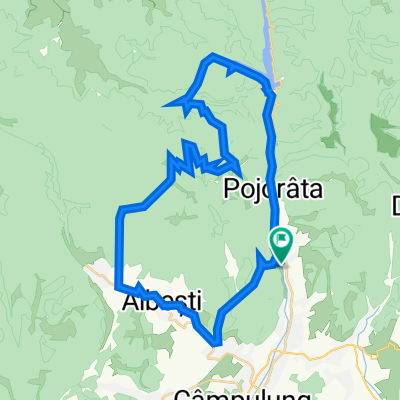
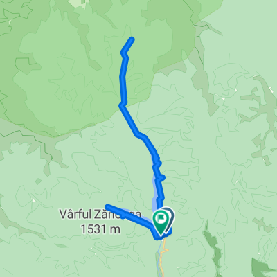
Other popular routes starting in Lereşti
- Iezer Mountains tour from Leresti, AG
- 60.3 km
- 1,792 m
- 1,792 m
- Lereşti, Arges, Romania
- tura Iezer
- 44.4 km
- 1,705 m
- 1,705 m
- Lereşti, Arges, Romania
- Iezer Enduro 2015 Rollo
- 7.3 km
- 24 m
- 1,197 m
- Lereşti, Arges, Romania
- DJ734 808, Lerești to DJ734 808, Lerești
- 44.1 km
- 2,309 m
- 2,309 m
- Lereşti, Arges, Romania
- baraj Rausor -Voina - cab. Cuca
- 30.7 km
- 373 m
- 395 m
- Lereşti, Arges, Romania
- Tura Rausor - Iezer
- 44.1 km
- 1,655 m
- 1,647 m
- Lereşti, Arges, Romania
- Test Iezer
- 23.1 km
- 1,545 m
- 200 m
- Lereşti, Arges, Romania


Open it in the app