

Lauchhammer-Ostsee
A cycling route starting in Lauchhammer, Brandenburg, Germany.
Overview
About this route
1.Cycling challenge. Overcoming the distance in one day. Start at 4:00 AM - Arrival at 8:25 PM
- -:--
- Duration
- 403.9 km
- Distance
- 683 m
- Ascent
- 728 m
- Descent
- ---
- Avg. speed
- 136 m
- Max. altitude

Route quality
Waytypes & surfaces along the route
Waytypes
Path
76.7 km
(19 %)
Track
32.3 km
(8 %)
Surfaces
Paved
311 km
(77 %)
Unpaved
28.3 km
(7 %)
Asphalt
302.9 km
(75 %)
Ground
12.1 km
(3 %)
Route highlights
Points of interest along the route
Point of interest after 46.2 km
1. ca. 43km 1h21min für 10min in Wiederau gehalten
Point of interest after 82 km
2. 82km 2h82min Hohenahlsdorf
Point of interest after 122 km
3. 121km 3h54min in Linthe
Point of interest after 163.7 km
4. 167km 5h29min hinter Brandenburg
Point of interest after 199.8 km
5. 204km 6h42min Hohennauen
Point of interest after 236.2 km
6. 237km 7h49min Wusterhausen
Point of interest after 274.1 km
7. 273km 9h03min Pritzwalk
Point of interest after 306.4 km
8. 318km 10h30min Plau a See
Point of interest after 343.1 km
9. 347km 11h28min Güstrow
Point of interest after 403 km
Ziel 405km 13h25min Heiligendamm
Continue with Bikemap
Use, edit, or download this cycling route
You would like to ride Lauchhammer-Ostsee or customize it for your own trip? Here is what you can do with this Bikemap route:
Free features
- Save this route as favorite or in collections
- Copy & plan your own version of this route
- Split it into stages to create a multi-day tour
- Sync your route with Garmin or Wahoo
Premium features
Free trial for 3 days, or one-time payment. More about Bikemap Premium.
- Navigate this route on iOS & Android
- Export a GPX / KML file of this route
- Create your custom printout (try it for free)
- Download this route for offline navigation
Discover more Premium features.
Get Bikemap PremiumFrom our community
Other popular routes starting in Lauchhammer
 Starke Straße 25, Lauchhammer nach Starke Straße 29, Lauchhammer
- Distance
- 11.3 km
- Ascent
- 9 m
- Descent
- 9 m
- Location
- Lauchhammer, Brandenburg, Germany
 Route zu Grünewalder Lauch
- Distance
- 21 km
- Ascent
- 85 m
- Descent
- 71 m
- Location
- Lauchhammer, Brandenburg, Germany
 Lauchhammer - Finsterwalde - Daily Grind
- Distance
- 37.3 km
- Ascent
- 131 m
- Descent
- 133 m
- Location
- Lauchhammer, Brandenburg, Germany
 Radtour un den Loben
- Distance
- 35.2 km
- Ascent
- 118 m
- Descent
- 119 m
- Location
- Lauchhammer, Brandenburg, Germany
 Kippenrennen 2016 in Lauchhammer
- Distance
- 40.4 km
- Ascent
- 186 m
- Descent
- 184 m
- Location
- Lauchhammer, Brandenburg, Germany
 MTB-Kippenrennen Oktober 2o12
- Distance
- 35.7 km
- Ascent
- 210 m
- Descent
- 208 m
- Location
- Lauchhammer, Brandenburg, Germany
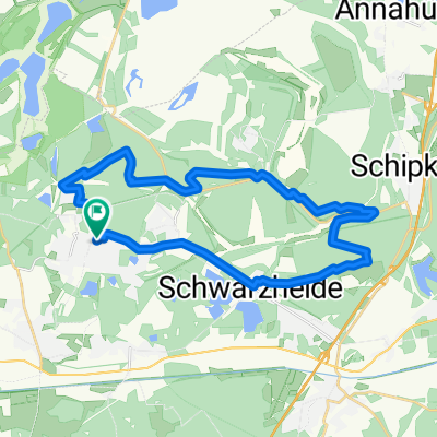 Schwarzheide-Schipkau-Lauchhammer Runde
- Distance
- 27.4 km
- Ascent
- 147 m
- Descent
- 150 m
- Location
- Lauchhammer, Brandenburg, Germany
 Tagebaustrasse bis Massen
- Distance
- 40.2 km
- Ascent
- 105 m
- Descent
- 106 m
- Location
- Lauchhammer, Brandenburg, Germany
Open it in the app