Extended Lueg Runde

A cycling route starting in 
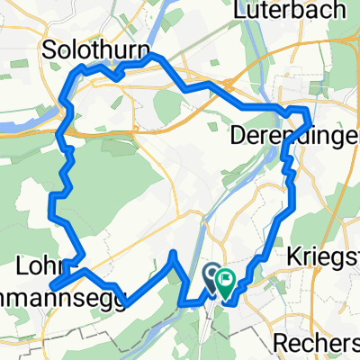
Gerlafingen, Canton of Solothurn, Switzerland.
OverviewAbout this route

From Gerlafingen via the Lueg. The ascent to the Lueg takes place through Wynigen with the 'Wall' of Leumberg.

Translated, show original (German)
-:--
Duration
57 km
Distance
430 m
Ascent
430 m
Descent
---
Avg. speed
---
Max. altitude
gol127created this 15 years ago
Route qualityWaytypes & surfaces along the route
Waytypes
  • Quiet road

    20.5 km36 %
  • Road

    17.1 km30 %
  • Cycleway

    1.7 km3 %
Surfaces

Paved

29.6 km(52 %)
  • Asphalt

    29.1 km51 %
  • Paved (undefined)

    0.6 km1 %
  • Undefined

    27.3 km48 %
Continue with BikemapUse, edit, or download this cycling route
You would like to ride Extended Lueg Runde or customize it for your own trip? Here is what you can do with this Bikemap route:
Free features
Premium features

Free trial for 3 days, or one-time payment. More about Bikemap Premium.

  • Navigate this route on iOS & Android
  • Export a GPX / KML file of this route
  • Create your custom printout (try it for free)
  • Download this route for offline navigation

Discover more Premium features.

Get Bikemap Premium
From our communityOther popular routes starting in Gerlafingen

Open it in the app