
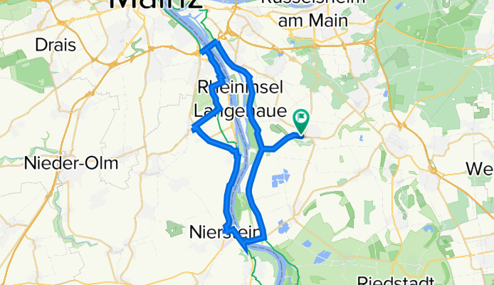
Rheinrundtour-2021
A cycling route starting in Trebur, Hesse, Germany.
Overview
About this route
- -:--
- Duration
- 40.5 km
- Distance
- 30 m
- Ascent
- 31 m
- Descent
- ---
- Avg. speed
- ---
- Max. altitude

Route quality
Waytypes & surfaces along the route
Waytypes
Track
21.1 km
(52 %)
Quiet road
10.1 km
(25 %)
Surfaces
Paved
33.2 km
(82 %)
Unpaved
2.8 km
(7 %)
Asphalt
25.1 km
(62 %)
Concrete
7.3 km
(18 %)
Continue with Bikemap
Use, edit, or download this cycling route
You would like to ride Rheinrundtour-2021 or customize it for your own trip? Here is what you can do with this Bikemap route:
Free features
- Save this route as favorite or in collections
- Copy & plan your own version of this route
- Sync your route with Garmin or Wahoo
Premium features
Free trial for 3 days, or one-time payment. More about Bikemap Premium.
- Navigate this route on iOS & Android
- Export a GPX / KML file of this route
- Create your custom printout (try it for free)
- Download this route for offline navigation
Discover more Premium features.
Get Bikemap PremiumFrom our community
Other popular routes starting in Trebur
 Astheim-Kühkopf-Astheim
- Distance
- 47.3 km
- Ascent
- 23 m
- Descent
- 23 m
- Location
- Trebur, Hesse, Germany
 Trebur - Weilbach
- Distance
- 17.5 km
- Ascent
- 62 m
- Descent
- 30 m
- Location
- Trebur, Hesse, Germany
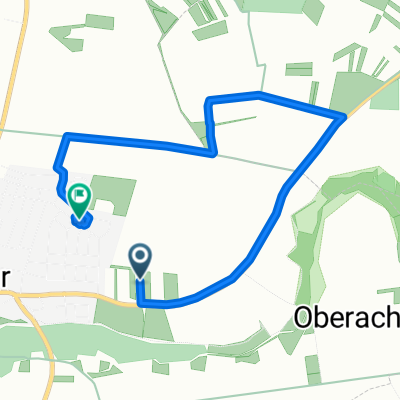
 Trebur nach Langenau
- Distance
- 6.7 km
- Ascent
- 8 m
- Descent
- 11 m
- Location
- Trebur, Hesse, Germany
 Astheim - GG - Astheim
- Distance
- 34.4 km
- Ascent
- 31 m
- Descent
- 31 m
- Location
- Trebur, Hesse, Germany
 Tour G. Reith
- Distance
- 6.1 km
- Ascent
- 4 m
- Descent
- 4 m
- Location
- Trebur, Hesse, Germany
 Mainspitze
- Distance
- 14.6 km
- Ascent
- 11 m
- Descent
- 12 m
- Location
- Trebur, Hesse, Germany
 Trebur-Astheim - Langen-Flugsicherung über Nauheim/Mörfelden
- Distance
- 25.9 km
- Ascent
- 75 m
- Descent
- 37 m
- Location
- Trebur, Hesse, Germany
 Trebur-TG
- Distance
- 9.7 km
- Ascent
- 21 m
- Descent
- 15 m
- Location
- Trebur, Hesse, Germany
Open it in the app