

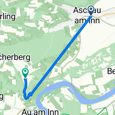
Innschleife
A cycling route starting in Aschau am Inn, Bavaria, Germany.
Overview
About this route
- -:--
- Duration
- 73.4 km
- Distance
- 631 m
- Ascent
- 661 m
- Descent
- ---
- Avg. speed
- 593 m
- Max. altitude
Route quality
Waytypes & surfaces along the route
Waytypes
Road
24.2 km
(33 %)
Quiet road
12.5 km
(17 %)
Surfaces
Paved
65.3 km
(89 %)
Unpaved
4.4 km
(6 %)
Asphalt
64.6 km
(88 %)
Ground
2.2 km
(3 %)
Route highlights
Points of interest along the route
Point of interest after 73.4 km
Continue with Bikemap
Use, edit, or download this cycling route
You would like to ride Innschleife or customize it for your own trip? Here is what you can do with this Bikemap route:
Free features
- Save this route as favorite or in collections
- Copy & plan your own version of this route
- Sync your route with Garmin or Wahoo
Premium features
Free trial for 3 days, or one-time payment. More about Bikemap Premium.
- Navigate this route on iOS & Android
- Export a GPX / KML file of this route
- Create your custom printout (try it for free)
- Download this route for offline navigation
Discover more Premium features.
Get Bikemap PremiumFrom our community
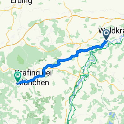
Other popular routes starting in Aschau am Inn
 Aschau - Elsenbach
- Distance
- 33.8 km
- Ascent
- 122 m
- Descent
- 117 m
- Location
- Aschau am Inn, Bavaria, Germany
 Hauptstraße 20, Aschau am Inn nach Hopfgarten 1, Gars am Inn
- Distance
- 11.8 km
- Ascent
- 167 m
- Descent
- 24 m
- Location
- Aschau am Inn, Bavaria, Germany
 1996_OBNB_T4_Aschau am Inn_Falkenberg
- Distance
- 46.2 km
- Ascent
- 442 m
- Descent
- 338 m
- Location
- Aschau am Inn, Bavaria, Germany
 Aschau - Ampfing
- Distance
- 10.7 km
- Ascent
- 8 m
- Descent
- 47 m
- Location
- Aschau am Inn, Bavaria, Germany
 Schulstraße 3, Aschau am Inn nach Liebigstraße 1, Aschau am Inn
- Distance
- 26.6 km
- Ascent
- 102 m
- Descent
- 135 m
- Location
- Aschau am Inn, Bavaria, Germany
 Aschau - BFD - Aschau
- Distance
- 52.1 km
- Ascent
- 391 m
- Descent
- 391 m
- Location
- Aschau am Inn, Bavaria, Germany
 Tödtenbergrunde kuzer leichter Spaziergang
- Distance
- 3.6 km
- Ascent
- 117 m
- Descent
- 117 m
- Location
- Aschau am Inn, Bavaria, Germany
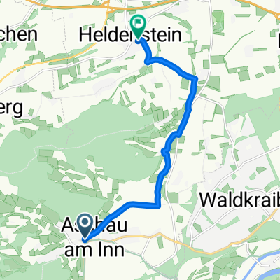 Lindenstraße 5, Aschau am Inn nach Schulstraße 3, Heldenstein
- Distance
- 7.5 km
- Ascent
- 61 m
- Descent
- 65 m
- Location
- Aschau am Inn, Bavaria, Germany
Open it in the app