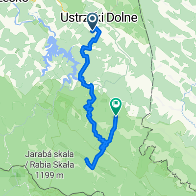
Polskiego Czerwonego Krzyża 52, Ustrzyki Dolne do Solina 176, Solina
A cycling route starting in Ustrzyki Dolne, Subcarpathian Voivodeship, Poland.
Overview
About this route
- 58 min
- Duration
- 16.3 km
- Distance
- 686 m
- Ascent
- 745 m
- Descent
- 16.7 km/h
- Avg. speed
- ---
- Avg. speed
Route photos
Route quality
Waytypes & surfaces along the route
Waytypes
Road
8.8 km
(54 %)
Busy road
3.6 km
(22 %)
Surfaces
Paved
15.2 km
(94 %)
Unpaved
0.1 km
(<1 %)
Asphalt
15.2 km
(94 %)
Ground
0.1 km
(<1 %)
Continue with Bikemap
Use, edit, or download this cycling route
You would like to ride Polskiego Czerwonego Krzyża 52, Ustrzyki Dolne do Solina 176, Solina or customize it for your own trip? Here is what you can do with this Bikemap route:
Free features
- Save this route as favorite or in collections
- Copy & plan your own version of this route
- Sync your route with Garmin or Wahoo
Premium features
Free trial for 3 days, or one-time payment. More about Bikemap Premium.
- Navigate this route on iOS & Android
- Export a GPX / KML file of this route
- Create your custom printout (try it for free)
- Download this route for offline navigation
Discover more Premium features.
Get Bikemap PremiumFrom our community
Other popular routes starting in Ustrzyki Dolne
- D1W1 Ustrzyki Dolne - Suche rzeki
- Distance
- 60.2 km
- Ascent
- 1,612 m
- Descent
- 1,530 m
- Location
- Ustrzyki Dolne, Subcarpathian Voivodeship, Poland
- Ustrzyki Dln-Ropienka-Tyrawa Woloska-Olszanica-Ustrzyki Dln 🙂
- Distance
- 63.7 km
- Ascent
- 584 m
- Descent
- 592 m
- Location
- Ustrzyki Dolne, Subcarpathian Voivodeship, Poland
- Polskiego Czerwonego Krzyża 52, Ustrzyki Dolne do Solina 176, Solina
- Distance
- 16.3 km
- Ascent
- 686 m
- Descent
- 745 m
- Location
- Ustrzyki Dolne, Subcarpathian Voivodeship, Poland
- Duża Pętla Bieszczadzka
- Distance
- 142.7 km
- Ascent
- 1,120 m
- Descent
- 1,120 m
- Location
- Ustrzyki Dolne, Subcarpathian Voivodeship, Poland
- D1W2 Ustrzyki Dolne - Otryt
- Distance
- 70.2 km
- Ascent
- 2,032 m
- Descent
- 1,670 m
- Location
- Ustrzyki Dolne, Subcarpathian Voivodeship, Poland
- Bieszczady 2015
- Distance
- 211 km
- Ascent
- 2,749 m
- Descent
- 2,764 m
- Location
- Ustrzyki Dolne, Subcarpathian Voivodeship, Poland
- Muddy trip 🙂
- Distance
- 32.7 km
- Ascent
- 537 m
- Descent
- 538 m
- Location
- Ustrzyki Dolne, Subcarpathian Voivodeship, Poland
- Ustrzyki Dolne - Strzyżów
- Distance
- 117.7 km
- Ascent
- 1,371 m
- Descent
- 1,580 m
- Location
- Ustrzyki Dolne, Subcarpathian Voivodeship, Poland
Open it in the app