
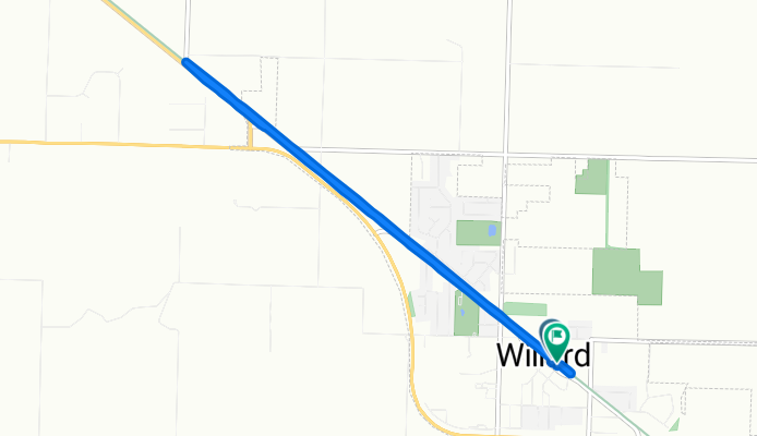
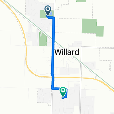
East Jackson Street 211, Willard to East Jackson Street 116, Willard
A cycling route starting in Willard, Missouri, United States of America.
Overview
About this route
- 45 min
- Duration
- 8.8 km
- Distance
- 80 m
- Ascent
- 80 m
- Descent
- 11.9 km/h
- Avg. speed
- ---
- Max. altitude

Route photos


Route quality
Waytypes & surfaces along the route
Waytypes
Cycleway
8.5 km
(97 %)
Road
0.2 km
(3 %)
Surfaces
Paved
6.7 km
(76 %)
Unpaved
1.9 km
(22 %)
Paved (undefined)
6.7 km
(76 %)
Gravel
1.9 km
(22 %)
Undefined
0.2 km
(3 %)
Continue with Bikemap
Use, edit, or download this cycling route
You would like to ride East Jackson Street 211, Willard to East Jackson Street 116, Willard or customize it for your own trip? Here is what you can do with this Bikemap route:
Free features
- Save this route as favorite or in collections
- Copy & plan your own version of this route
- Sync your route with Garmin or Wahoo
Premium features
Free trial for 3 days, or one-time payment. More about Bikemap Premium.
- Navigate this route on iOS & Android
- Export a GPX / KML file of this route
- Create your custom printout (try it for free)
- Download this route for offline navigation
Discover more Premium features.
Get Bikemap PremiumFrom our community
Other popular routes starting in Willard
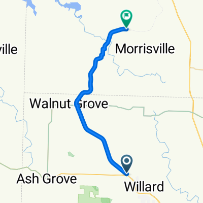 Wimpy's to Wishart Out-and-Back
- Distance
- 27.8 km
- Ascent
- 57 m
- Descent
- 113 m
- Location
- Willard, Missouri, United States of America
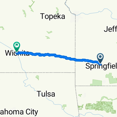 W Jackson St, Willard to N Clarence Ave, Wichita
- Distance
- 422.4 km
- Ascent
- 1,941 m
- Descent
- 1,908 m
- Location
- Willard, Missouri, United States of America
 Main Street 604, Willard to North State Highway Z 233, Willard
- Distance
- 3 km
- Ascent
- 48 m
- Descent
- 3 m
- Location
- Willard, Missouri, United States of America
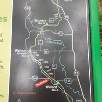
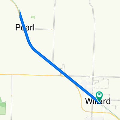
 road on the frisco Highline Trail
- Distance
- 6.7 km
- Ascent
- 83 m
- Descent
- 78 m
- Location
- Willard, Missouri, United States of America
 East Jackson Street 211, Willard to East Jackson Street 116, Willard
- Distance
- 8.8 km
- Ascent
- 80 m
- Descent
- 80 m
- Location
- Willard, Missouri, United States of America
 Main Street 604, Willard to North State Highway Z 133, Willard
- Distance
- 3.4 km
- Ascent
- 20 m
- Descent
- 13 m
- Location
- Willard, Missouri, United States of America
 North State Highway Z 233, Willard to Main Street 604, Willard
- Distance
- 3 km
- Ascent
- 4 m
- Descent
- 14 m
- Location
- Willard, Missouri, United States of America
 100 Mill St, Willard to 100 Mill St, Willard
- Distance
- 16.9 km
- Ascent
- 61 m
- Descent
- 62 m
- Location
- Willard, Missouri, United States of America
Open it in the app