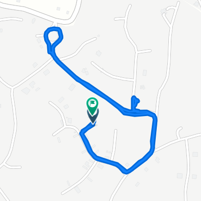
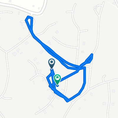
Barbet Drive, Manchester to Barbet Drive, Manchester
- 2.5 km
- 13 m
- 13 m
- Mandeville, Manchester, Jamaica


Free trial for 3 days, or one-time payment. More about Bikemap Premium.
Discover more Premium features.
Get Bikemap PremiumOpen it in the app