Passaiertal - Kaltern - Auer
- 67.2 km
- 403 m
- 856 m
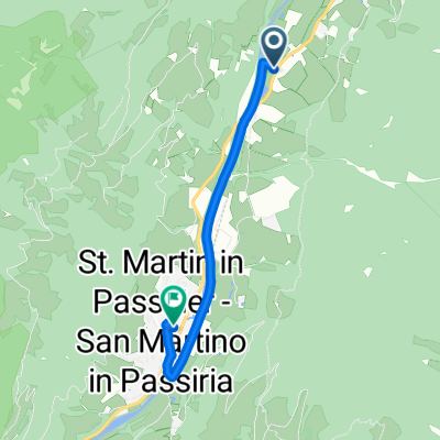
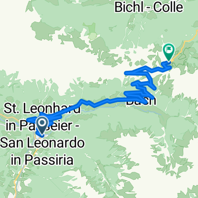
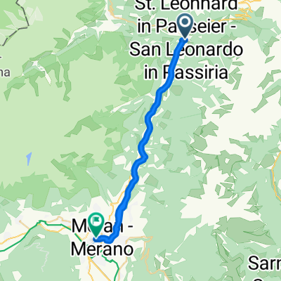
- St. Leonhard in Passeier, Trentino-Alto Adige, Italy
A cycling route starting in St. Leonhard in Passeier, Trentino-Alto Adige, Italy.
Overview
created this 4 years ago
Route quality
Quiet road
6.5 km
(35 %)
Path
6.1 km
(33 %)
Paved
6.7 km
(36 %)
Unpaved
0.2 km
(1 %)
Asphalt
6.7 km
(36 %)
Unpaved (undefined)
0.2 km
(1 %)
Undefined
11.7 km
(63 %)
Continue with Bikemap
You would like to ride P-Pfistrad or customize it for your own trip? Here is what you can do with this Bikemap route:
Free trial for 3 days, or one-time payment. More about Bikemap Premium.
Discover more Premium features.
Get Bikemap PremiumFrom our community
Open it in the app