Kraichgau 35
A cycling route starting in Malsch, Baden-Wurttemberg, Germany.
Overview
About this route
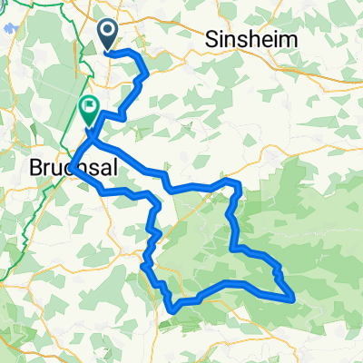
Malsch - Frauenweiler - Baiertal - Eschelbach - Östringen - Malsch
- -:--
- Duration
- 34.2 km
- Distance
- 309 m
- Ascent
- 295 m
- Descent
- ---
- Avg. speed
- 236 m
- Max. altitude
Route quality
Waytypes & surfaces along the route
Waytypes
Road
10.6 km
(31 %)
Quiet road
3.4 km
(10 %)
Surfaces
Paved
30.8 km
(90 %)
Unpaved
1 km
(3 %)
Asphalt
30.1 km
(88 %)
Ground
1 km
(3 %)
Continue with Bikemap
Use, edit, or download this cycling route
You would like to ride Kraichgau 35 or customize it for your own trip? Here is what you can do with this Bikemap route:
Free features
- Save this route as favorite or in collections
- Copy & plan your own version of this route
- Sync your route with Garmin or Wahoo
Premium features
Free trial for 3 days, or one-time payment. More about Bikemap Premium.
- Navigate this route on iOS & Android
- Export a GPX / KML file of this route
- Create your custom printout (try it for free)
- Download this route for offline navigation
Discover more Premium features.
Get Bikemap PremiumFrom our community
Other popular routes starting in Malsch
- Kraichgau 62
- Distance
- 61.6 km
- Ascent
- 576 m
- Descent
- 561 m
- Location
- Malsch, Baden-Wurttemberg, Germany
- Malschnebrg nach Speyer
- Distance
- 19.9 km
- Ascent
- 52 m
- Descent
- 123 m
- Location
- Malsch, Baden-Wurttemberg, Germany
- Flache Runde in Richtung Rhein
- Distance
- 55 km
- Ascent
- 167 m
- Descent
- 169 m
- Location
- Malsch, Baden-Wurttemberg, Germany
- Radtour Forst - Oewisheim - Odenheim
- Distance
- 52 km
- Ascent
- 410 m
- Descent
- 410 m
- Location
- Malsch, Baden-Wurttemberg, Germany
- MTB BHF Rot - Forst - ROT BHF
- Distance
- 30.9 km
- Ascent
- 51 m
- Descent
- 51 m
- Location
- Malsch, Baden-Wurttemberg, Germany
- Rundfahrt um Mühlhausen
- Distance
- 22.4 km
- Ascent
- 258 m
- Descent
- 218 m
- Location
- Malsch, Baden-Wurttemberg, Germany
- Malsch - WDF03 (BAC)
- Distance
- 9.9 km
- Ascent
- 44 m
- Descent
- 85 m
- Location
- Malsch, Baden-Wurttemberg, Germany
- Schindelberg - Rhein 65
- Distance
- 65.5 km
- Ascent
- 277 m
- Descent
- 311 m
- Location
- Malsch, Baden-Wurttemberg, Germany
Open it in the app