

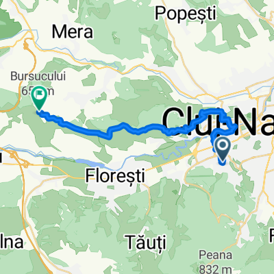
Calea Turzii 219, Cluj-Napoca to Strada Sextil Pușcariu 4, Cluj-Napoca
A cycling route starting in Cluj-Napoca, Cluj County, Romania.
Overview
About this route
- 3 h 50 min
- Duration
- 54.8 km
- Distance
- 609 m
- Ascent
- 741 m
- Descent
- 14.3 km/h
- Avg. speed
- ---
- Max. altitude

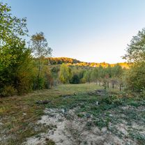
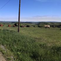
Route photos


Route quality
Waytypes & surfaces along the route
Waytypes
Pedestrian area
5.5 km
(10 %)
Access road
3.3 km
(6 %)
Surfaces
Paved
47.7 km
(87 %)
Unpaved
1.6 km
(3 %)
Asphalt
47.7 km
(87 %)
Ground
1.6 km
(3 %)
Undefined
5.5 km
(10 %)
Continue with Bikemap
Use, edit, or download this cycling route
You would like to ride Calea Turzii 219, Cluj-Napoca to Strada Sextil Pușcariu 4, Cluj-Napoca or customize it for your own trip? Here is what you can do with this Bikemap route:
Free features
- Save this route as favorite or in collections
- Copy & plan your own version of this route
- Sync your route with Garmin or Wahoo
Premium features
Free trial for 3 days, or one-time payment. More about Bikemap Premium.
- Navigate this route on iOS & Android
- Export a GPX / KML file of this route
- Create your custom printout (try it for free)
- Download this route for offline navigation
Discover more Premium features.
Get Bikemap PremiumFrom our community
Other popular routes starting in Cluj-Napoca
 Lita - After rain
- Distance
- 72.5 km
- Ascent
- 1,004 m
- Descent
- 1,005 m
- Location
- Cluj-Napoca, Cluj County, Romania
 Cluj-Aiton-Cluj
- Distance
- 37.1 km
- Ascent
- 580 m
- Descent
- 580 m
- Location
- Cluj-Napoca, Cluj County, Romania
 atw capat borhanci
- Distance
- 10.8 km
- Ascent
- 366 m
- Descent
- 396 m
- Location
- Cluj-Napoca, Cluj County, Romania
 Calea Turzii 219, Cluj-Napoca to Strada Sextil Pușcariu 4, Cluj-Napoca
- Distance
- 54.8 km
- Ascent
- 609 m
- Descent
- 741 m
- Location
- Cluj-Napoca, Cluj County, Romania
 Route from Aleea Vidraru
- Distance
- 19.1 km
- Ascent
- 528 m
- Descent
- 294 m
- Location
- Cluj-Napoca, Cluj County, Romania
 BT Cluj Tura Faget 24.3 Km 550-550m 4h
- Distance
- 24.3 km
- Ascent
- 607 m
- Descent
- 604 m
- Location
- Cluj-Napoca, Cluj County, Romania
 Sopor-Borhanci-Cluj Napoca
- Distance
- 14.6 km
- Ascent
- 177 m
- Descent
- 175 m
- Location
- Cluj-Napoca, Cluj County, Romania
 Kicsi FUN
- Distance
- 18.5 km
- Ascent
- 94 m
- Descent
- 150 m
- Location
- Cluj-Napoca, Cluj County, Romania
Open it in the app