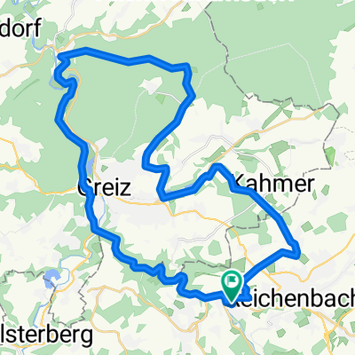
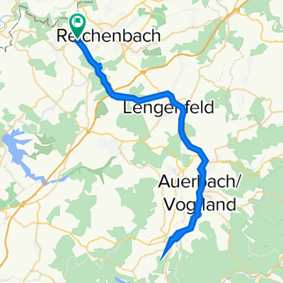
- 42.4 km
- 561 m
- 561 m
- Mylau, Saxony, Germany
Tour de Franz 13.09.2008
A cycling route starting in Mylau, Saxony, Germany.
Overview
About this route
The route was ridden by my brother Oliver and me in September 2008. It is very suitable for road bikes and shows some of the Vogtland.
From the beautiful Rotschau, we ride along the Gölzsch valley to Mylau, where the first small climb to Froschenroda begins and continues almost to Kuhberg.
Herlasgrün, Pöhl Dam, Neuensalz, Theuma, and then heading towards Schönheck. Somewhere near Korna, there’s a short, punchy climb and then it’s almost done. From Muldenberg, several kilometers of flat terrain towards Hammerbrücke bring the heart rate to GA1 level. Then a small bump after Beerheide and we continue over Schnarrtanne to Wernesgrün, Rothenkirchen, Wildenau, Stangenfrün, Irfersgrün, Hauptmannsgrün, Heinsdorf Reichenbach. The last small climb is the Krankenhausberg in Reichenbach, which will try once more to separate the wheat from the chaff. After that, a leisurely roll into the beautiful Rotschau and the bike computer shows 99 km more with almost 1500 m of elevation gain. Have fun and many greetings.
Karsten
- -:--
- Duration
- 98.7 km
- Distance
- 1,340 m
- Ascent
- 1,288 m
- Descent
- ---
- Avg. speed
- 799 m
- Max. altitude
created this 17 years ago
Route quality
Waytypes & surfaces along the route
Waytypes
Road
32.6 km
(33 %)
Quiet road
14.8 km
(15 %)
Surfaces
Paved
62.2 km
(63 %)
Unpaved
4.9 km
(5 %)
Asphalt
56.3 km
(57 %)
Paved (undefined)
5.9 km
(6 %)
Continue with Bikemap
Use, edit, or download this cycling route
You would like to ride Tour de Franz 13.09.2008 or customize it for your own trip? Here is what you can do with this Bikemap route:
Free features
- Save this route as favorite or in collections
- Copy & plan your own version of this route
- Split it into stages to create a multi-day tour
- Sync your route with Garmin or Wahoo
Premium features
Free trial for 3 days, or one-time payment. More about Bikemap Premium.
- Navigate this route on iOS & Android
- Export a GPX / KML file of this route
- Create your custom printout (try it for free)
- Download this route for offline navigation
Discover more Premium features.
Get Bikemap PremiumFrom our community
Other popular routes starting in Mylau
- Tour de Franz III
- Obermylauer Weg 51, Reichenbach im Vogtland to Dr.-Otto-Just-Straße 71, Reichenbach im Vogtland
- 12.9 km
- 164 m
- 218 m
- Mylau, Saxony, Germany
- Reichenbacher Straße 18, Mylau nach Reichenbacher Straße 20, Mylau
- 38.6 km
- 590 m
- 572 m
- Mylau, Saxony, Germany
- Lengenfelder Straße 1–3, Reichenbach im Vogtland nach Lengenfelder Straße 1–3, Reichenbach im Vogtland
- 56.2 km
- 690 m
- 689 m
- Mylau, Saxony, Germany
- Sonntagstour 13.06.2010
- 141.3 km
- 643 m
- 643 m
- Mylau, Saxony, Germany
- Brücknerstraße 16, Mylau nach Reichenbacher Straße 18, Mylau
- 49.1 km
- 705 m
- 690 m
- Mylau, Saxony, Germany
- Meßstrecke
- 3.4 km
- 142 m
- 69 m
- Mylau, Saxony, Germany
- Rotschauer Straße 21, Mylau nach Siedlerweg 4, Mylau
- 40.4 km
- 372 m
- 366 m
- Mylau, Saxony, Germany
Open it in the app


