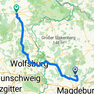
Lindhorst - Jägerstieg - Rabensol - Lindenwald - Colbitz - Lindhorst
A cycling route starting in Colbitz, Saxony-Anhalt, Germany.
Overview
About this route
- -:--
- Duration
- 18.2 km
- Distance
- 69 m
- Ascent
- 72 m
- Descent
- ---
- Avg. speed
- ---
- Max. altitude
Route quality
Waytypes & surfaces along the route
Waytypes
Track
9.1 km
(50 %)
Quiet road
5.1 km
(28 %)
Surfaces
Paved
5.6 km
(31 %)
Unpaved
8.7 km
(48 %)
Gravel
6.2 km
(34 %)
Asphalt
5.1 km
(28 %)
Continue with Bikemap
Use, edit, or download this cycling route
You would like to ride Lindhorst - Jägerstieg - Rabensol - Lindenwald - Colbitz - Lindhorst or customize it for your own trip? Here is what you can do with this Bikemap route:
Free features
- Save this route as favorite or in collections
- Copy & plan your own version of this route
- Sync your route with Garmin or Wahoo
Premium features
Free trial for 3 days, or one-time payment. More about Bikemap Premium.
- Navigate this route on iOS & Android
- Export a GPX / KML file of this route
- Create your custom printout (try it for free)
- Download this route for offline navigation
Discover more Premium features.
Get Bikemap PremiumFrom our community
Other popular routes starting in Colbitz
Lindhorst - Meseberg - Hillersleben - Vahldorf - Groß Ammensleben - Jersleben - Samswegen - Wolmirstedt - Loitsche - Schricke - Lindhorst- Distance
- 48.5 km
- Ascent
- 96 m
- Descent
- 96 m
- Location
- Colbitz, Saxony-Anhalt, Germany
rund ums Kaliwerk- Distance
- 37.1 km
- Ascent
- 112 m
- Descent
- 112 m
- Location
- Colbitz, Saxony-Anhalt, Germany
Lindhorst - Wolmirstedt - Elbeu - Barleben - Magdeburg Neustädter See - Barleber See - Glindenberg - Wolmirstedt - Mose - Lindhorst- Distance
- 44.2 km
- Ascent
- 64 m
- Descent
- 64 m
- Location
- Colbitz, Saxony-Anhalt, Germany
Lindhorst - Vahldorf - Jersleben - Wolmirstedt - Lindhorst- Distance
- 35.5 km
- Ascent
- 68 m
- Descent
- 68 m
- Location
- Colbitz, Saxony-Anhalt, Germany
Lindhorst - Wolmirstedt - Glindenberg - Farsleber See - Barleben - Jersleben - Samswegen - Lindhorst- Distance
- 45.3 km
- Ascent
- 78 m
- Descent
- 75 m
- Location
- Colbitz, Saxony-Anhalt, Germany
Lindhorst - Meseberg - Samswegen - Wolmirstedt - Heinrichsberg - Loitsche - Zielitz - Schricke - Colbitz - Lindhorst- Distance
- 41.7 km
- Ascent
- 104 m
- Descent
- 104 m
- Location
- Colbitz, Saxony-Anhalt, Germany
Lindhorst - Colbitz - Angern - Sandkrug - Rogätz - Loitsche - Zielitz - Schricke - Lindhorst- Distance
- 41.2 km
- Ascent
- 114 m
- Descent
- 114 m
- Location
- Colbitz, Saxony-Anhalt, Germany
Im Winkel, Colbitz nach Veerßer Straße, Uelzen- Distance
- 152.2 km
- Ascent
- 316 m
- Descent
- 331 m
- Location
- Colbitz, Saxony-Anhalt, Germany
Open it in the app


