


Le Bourg-d'Oisans - Val Thorens
- 196.3 km
- 3,793 m
- 5,452 m
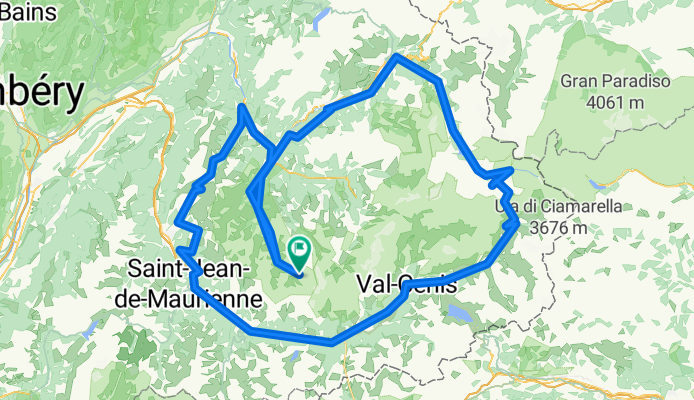
- Val Thorens, Auvergne-Rhône-Alpes, France
A cycling route starting in Val Thorens, Auvergne-Rhône-Alpes, France.
Overview
Statistics calculated from imported data
Friday, February 5, 2021 14:02 CET Distance: 321.3 km Duration: 14 hours, 17 minutes, and 27 seconds Average speed: 22.5 km/h Minimum altitude: 433 m Maximum altitude: 2759 m Cumulative positive elevation gain: 8675 m Cumulative negative elevation loss: 8682 m
created this 4 years ago
Route quality
Road
83.7 km
(26 %)
Quiet road
12.9 km
(4 %)
Paved
254.3 km
(79 %)
Asphalt
254.3 km
(79 %)
Undefined
67.6 km
(21 %)
Continue with Bikemap
You would like to ride 12508952-Parcours 320 Kilomètres or customize it for your own trip? Here is what you can do with this Bikemap route:
Free trial for 3 days, or one-time payment. More about Bikemap Premium.
Discover more Premium features.
Get Bikemap PremiumFrom our community
Open it in the app


