

Friedhofstraße 21A, Bönen nach Friedhofstraße 14, Bönen
A cycling route starting in Bönen, North Rhine-Westphalia, Germany.
Overview
About this route
A beautiful circular tour starting from Bönen through the Uelzener Heide, Unna, over the Haarstrang (Kessebüren, Frömern, and Ostbüren) with lovely views over the eastern Ruhr area, the large power plants, and the Soester plain. A small downside is that there are almost no bike paths on the Haarstrang.
- 2 h 50 min
- Duration
- 42.1 km
- Distance
- 174 m
- Ascent
- 174 m
- Descent
- 14.9 km/h
- Avg. speed
- ---
- Max. altitude
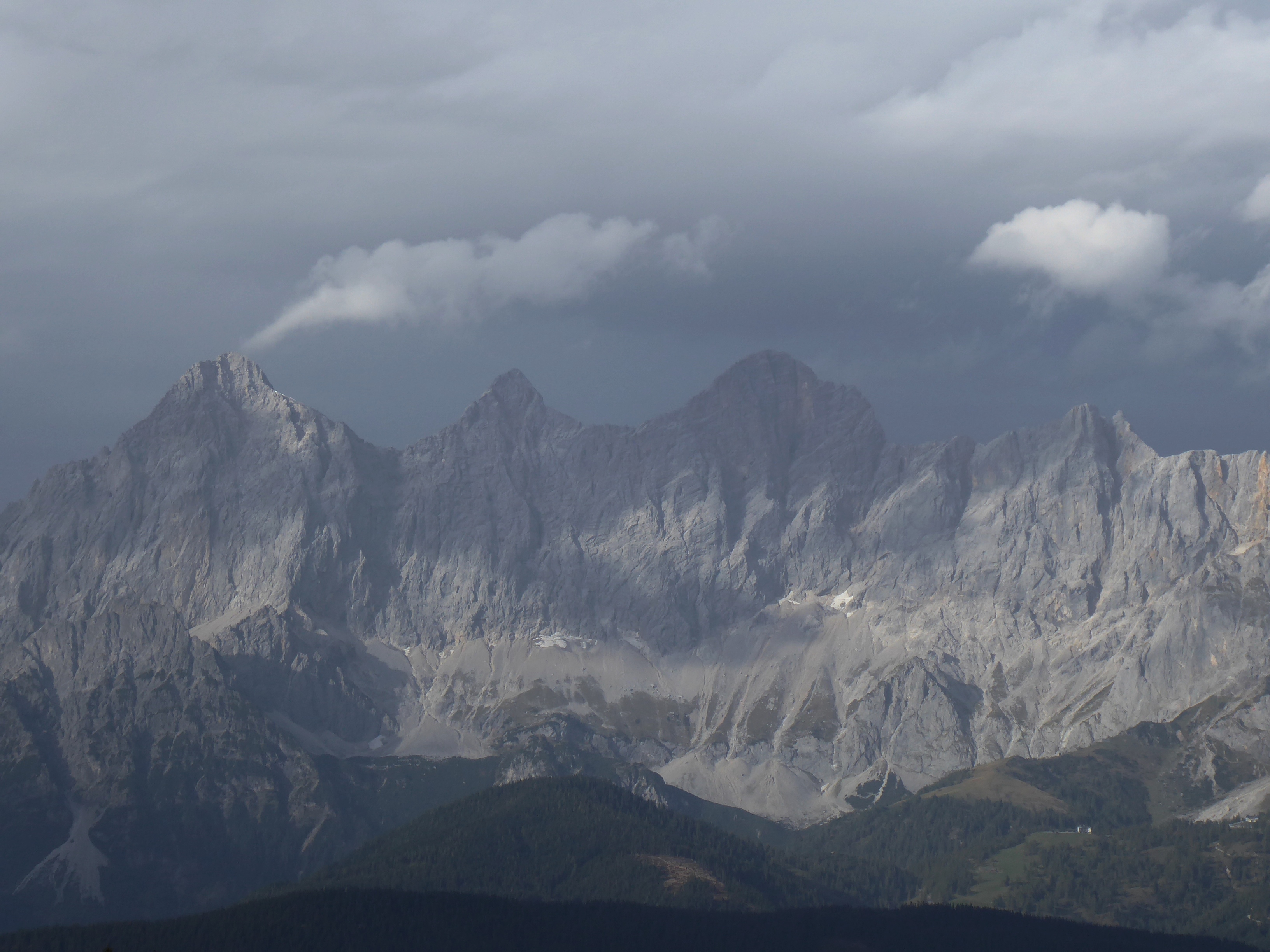
Route photos

Route quality
Waytypes & surfaces along the route
Waytypes
Quiet road
13.1 km
(31 %)
Road
9.3 km
(22 %)
Surfaces
Paved
36.6 km
(87 %)
Unpaved
1.7 km
(4 %)
Asphalt
35.8 km
(85 %)
Gravel
1.3 km
(3 %)
Continue with Bikemap
Use, edit, or download this cycling route
You would like to ride Friedhofstraße 21A, Bönen nach Friedhofstraße 14, Bönen or customize it for your own trip? Here is what you can do with this Bikemap route:
Free features
- Save this route as favorite or in collections
- Copy & plan your own version of this route
- Sync your route with Garmin or Wahoo
Premium features
Free trial for 3 days, or one-time payment. More about Bikemap Premium.
- Navigate this route on iOS & Android
- Export a GPX / KML file of this route
- Create your custom printout (try it for free)
- Download this route for offline navigation
Discover more Premium features.
Get Bikemap PremiumFrom our community
Other popular routes starting in Bönen
 1. Mai
- Distance
- 38.8 km
- Ascent
- 123 m
- Descent
- 122 m
- Location
- Bönen, North Rhine-Westphalia, Germany
 Möhnetour kurz
- Distance
- 66 km
- Ascent
- 473 m
- Descent
- 424 m
- Location
- Bönen, North Rhine-Westphalia, Germany
 Zur Möhnetalsperre - nur 31,6 km
- Distance
- 31.6 km
- Ascent
- 290 m
- Descent
- 161 m
- Location
- Bönen, North Rhine-Westphalia, Germany
 Nordbögge-Schloss Cappenberg-Großes Holz
- Distance
- 45.1 km
- Ascent
- 271 m
- Descent
- 269 m
- Location
- Bönen, North Rhine-Westphalia, Germany
 Fähre Lupia
- Distance
- 67.9 km
- Ascent
- 104 m
- Descent
- 104 m
- Location
- Bönen, North Rhine-Westphalia, Germany
 Bönen- Pelkum- Kamen- Bönen
- Distance
- 27.8 km
- Ascent
- 0 m
- Descent
- 0 m
- Location
- Bönen, North Rhine-Westphalia, Germany
 Eisessen in Kamen
- Distance
- 20.9 km
- Ascent
- 45 m
- Descent
- 48 m
- Location
- Bönen, North Rhine-Westphalia, Germany
 Kleine Runde nach Bönen
- Distance
- 24.6 km
- Ascent
- 55 m
- Descent
- 53 m
- Location
- Bönen, North Rhine-Westphalia, Germany
Open it in the app