

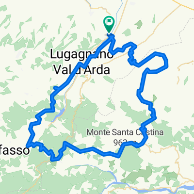
Vigolo-Ponte dell'Olio
A cycling route starting in Castell'Arquato, Emilia-Romagna, Italy.
Overview
About this route
- First half flat, 2. Second half hilly. Some short but very steep sections.
- -:--
- Duration
- 49.8 km
- Distance
- 824 m
- Ascent
- 818 m
- Descent
- ---
- Avg. speed
- 407 m
- Max. altitude
Route quality
Waytypes & surfaces along the route
Waytypes
Road
29.4 km
(59 %)
Quiet road
10.5 km
(21 %)
Surfaces
Paved
10 km
(20 %)
Asphalt
10 km
(20 %)
Undefined
39.9 km
(80 %)
Continue with Bikemap
Use, edit, or download this cycling route
You would like to ride Vigolo-Ponte dell'Olio or customize it for your own trip? Here is what you can do with this Bikemap route:
Free features
- Save this route as favorite or in collections
- Copy & plan your own version of this route
- Sync your route with Garmin or Wahoo
Premium features
Free trial for 3 days, or one-time payment. More about Bikemap Premium.
- Navigate this route on iOS & Android
- Export a GPX / KML file of this route
- Create your custom printout (try it for free)
- Download this route for offline navigation
Discover more Premium features.
Get Bikemap PremiumFrom our community
Other popular routes starting in Castell'Arquato
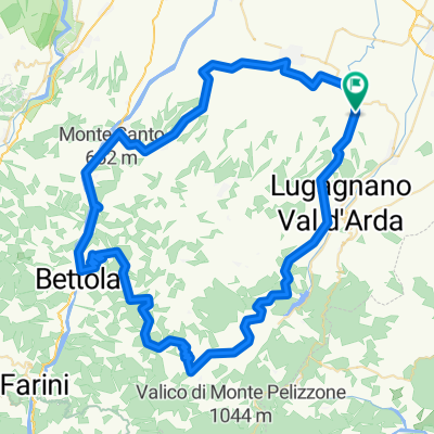
 vigolo parco guselli gropparello diolo
- Distance
- 136.7 km
- Ascent
- 2,658 m
- Descent
- 2,658 m
- Location
- Castell'Arquato, Emilia-Romagna, Italy
 Vigolo-Ponte dell'Olio
- Distance
- 49.8 km
- Ascent
- 824 m
- Descent
- 818 m
- Location
- Castell'Arquato, Emilia-Romagna, Italy
EDGE EXPLORE®
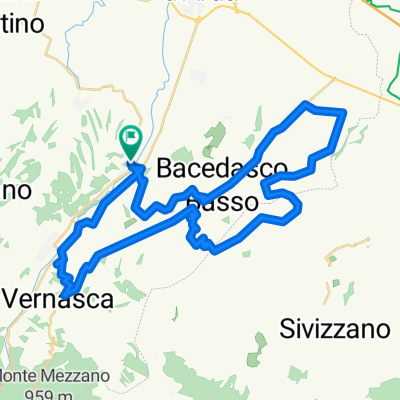
7 Sorelle - S. Antonio - Vigoleno - Bacedasco- Distance
- 88.7 km
- Ascent
- 1,763 m
- Descent
- 1,626 m
- Location
- Castell'Arquato, Emilia-Romagna, Italy
 B2 Castell'Arquato-Fiorenzuola -Busseto
- Distance
- 53.4 km
- Ascent
- 90 m
- Descent
- 221 m
- Location
- Castell'Arquato, Emilia-Romagna, Italy
EDGE EXPLORE®
Vigolo Marchese - Prato Barbieri - Massara- Distance
- 86.8 km
- Ascent
- 1,172 m
- Descent
- 1,092 m
- Location
- Castell'Arquato, Emilia-Romagna, Italy
EDGE EXPLORE®
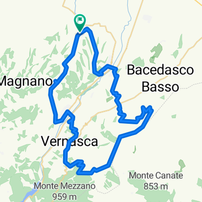
Castell'Arquato Anello Vernasca Vigoleno Bacedasco- Distance
- 51.1 km
- Ascent
- 578 m
- Descent
- 581 m
- Location
- Castell'Arquato, Emilia-Romagna, Italy
EDGE EXPLORE®
Castell'Arquato- Distance
- 47.1 km
- Ascent
- 782 m
- Descent
- 787 m
- Location
- Castell'Arquato, Emilia-Romagna, Italy
 Val d'Arda 4
- Distance
- 56.9 km
- Ascent
- 1,136 m
- Descent
- 1,136 m
- Location
- Castell'Arquato, Emilia-Romagna, Italy
Open it in the app