Lbg-Muncy-Millville-Bloom-Norry Looper
A cycling route starting in Lewisburg, Pennsylvania, United States.
Overview
About this route
Start and Finish at May's Drive-In and head north for a nice flat warm-up. The parts of 405 that has heavier traffic has nice wide berms. Rt442 is a great road, lots of awesome scenary. The majority of the climbing, and they are not that bad, is on 442. Traffic is light in the AM. Millville is a great place to eat or if you could hold on a little, Bloomsburg has some great places to stop. Take the old bloom higher from Bloom to Danville and be careful on rt11 between Danville and Norry. If you don't like traffic, climb Baldtop Mtn road just West of Danville and take the roads that are South of rt45 and paralle 45 into Montandon.
- -:--
- Duration
- 135.3 km
- Distance
- 510 m
- Ascent
- 510 m
- Descent
- ---
- Avg. speed
- ---
- Max. altitude
Route quality
Waytypes & surfaces along the route
Waytypes
Busy road
80 km
(59 %)
Quiet road
25.3 km
(19 %)
Surfaces
Paved
53.9 km
(40 %)
Asphalt
47.6 km
(35 %)
Paved (undefined)
6.1 km
(4 %)
Continue with Bikemap
Use, edit, or download this cycling route
You would like to ride Lbg-Muncy-Millville-Bloom-Norry Looper or customize it for your own trip? Here is what you can do with this Bikemap route:
Free features
- Save this route as favorite or in collections
- Copy & plan your own version of this route
- Split it into stages to create a multi-day tour
- Sync your route with Garmin or Wahoo
Premium features
Free trial for 3 days, or one-time payment. More about Bikemap Premium.
- Navigate this route on iOS & Android
- Export a GPX / KML file of this route
- Create your custom printout (try it for free)
- Download this route for offline navigation
Discover more Premium features.
Get Bikemap PremiumFrom our community
Other popular routes starting in Lewisburg
- Monday ramble
- Distance
- 72.3 km
- Ascent
- 373 m
- Descent
- 374 m
- Location
- Lewisburg, Pennsylvania, United States
- 42 miles from Bucknell
- Distance
- 67.5 km
- Ascent
- 273 m
- Descent
- 273 m
- Location
- Lewisburg, Pennsylvania, United States
- Pedal to the Skook
- Distance
- 98.8 km
- Ascent
- 1,148 m
- Descent
- 915 m
- Location
- Lewisburg, Pennsylvania, United States
- Daz CLONED FROM ROUTE 1255420
- Distance
- 45.8 km
- Ascent
- 195 m
- Descent
- 196 m
- Location
- Lewisburg, Pennsylvania, United States
- Lbg-Muncy-Millville-Bloom-Norry Looper
- Distance
- 135.3 km
- Ascent
- 510 m
- Descent
- 510 m
- Location
- Lewisburg, Pennsylvania, United States
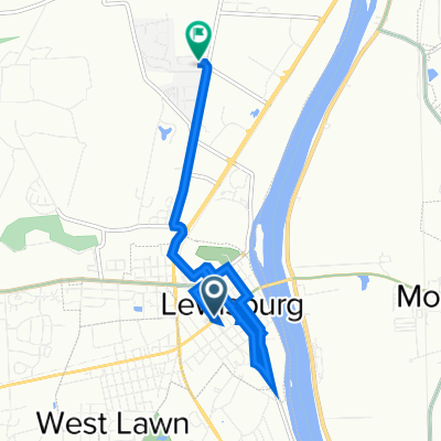
- Lewisburg-Montgomery-Danville Enduro
- Distance
- 88.1 km
- Ascent
- 386 m
- Descent
- 386 m
- Location
- Lewisburg, Pennsylvania, United States
- 1st ride 202/
- Distance
- 16.1 km
- Ascent
- 148 m
- Descent
- 143 m
- Location
- Lewisburg, Pennsylvania, United States
- Try All by Fire road route
- Distance
- 112 km
- Ascent
- 1,357 m
- Descent
- 919 m
- Location
- Lewisburg, Pennsylvania, United States
Open it in the app