
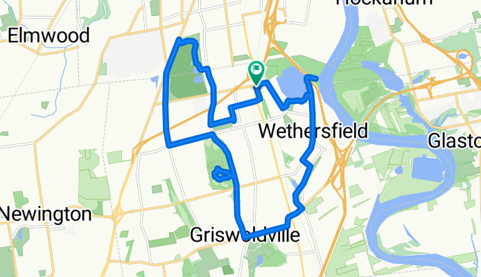
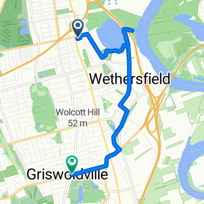
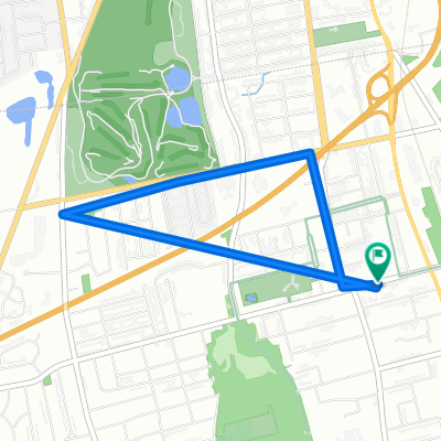
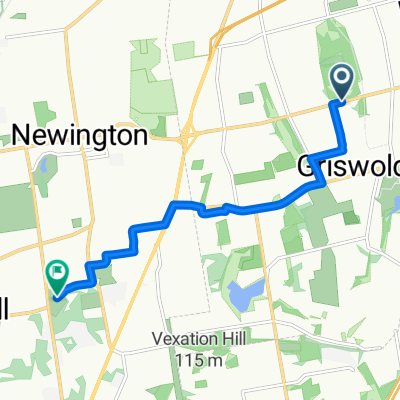
Wethersfield
A cycling route starting in Wethersfield, Connecticut, United States.
Overview
About this route
- -:--
- Duration
- 18.7 km
- Distance
- 142 m
- Ascent
- 144 m
- Descent
- ---
- Avg. speed
- ---
- Max. altitude

Route quality
Waytypes & surfaces along the route
Waytypes
Road
6 km
(32 %)
Quiet road
5.2 km
(28 %)
Surfaces
Paved
4.1 km
(22 %)
Unpaved
1.1 km
(6 %)
Asphalt
3.6 km
(19 %)
Unpaved (undefined)
1.1 km
(6 %)
Continue with Bikemap
Use, edit, or download this cycling route
You would like to ride Wethersfield or customize it for your own trip? Here is what you can do with this Bikemap route:
Free features
- Save this route as favorite or in collections
- Copy & plan your own version of this route
- Sync your route with Garmin or Wahoo
Premium features
Free trial for 3 days, or one-time payment. More about Bikemap Premium.
- Navigate this route on iOS & Android
- Export a GPX / KML file of this route
- Create your custom printout (try it for free)
- Download this route for offline navigation
Discover more Premium features.
Get Bikemap PremiumFrom our community
Other popular routes starting in Wethersfield
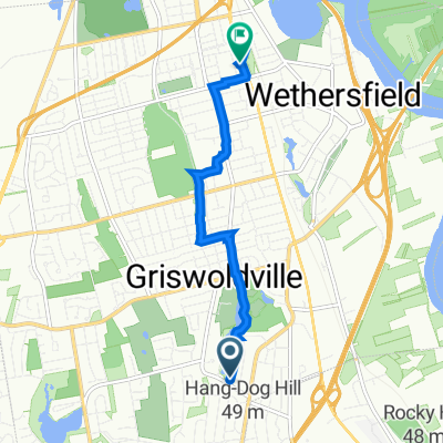
 Wethersfield
- Distance
- 7.3 km
- Ascent
- 71 m
- Descent
- 52 m
- Location
- Wethersfield, Connecticut, United States
 215 Nott St, Wethersfield to 211 Nott St, Wethersfield
- Distance
- 4.4 km
- Ascent
- 547 m
- Descent
- 549 m
- Location
- Wethersfield, Connecticut, United States
 8 Mountain View Dr, Rocky Hill to 38 Murdough Rd, Stoddard
- Distance
- 205.4 km
- Ascent
- 2,252 m
- Descent
- 1,900 m
- Location
- Wethersfield, Connecticut, United States
 373 Wells Rd, Wethersfield to Balducci Way, Newington
- Distance
- 7 km
- Ascent
- 88 m
- Descent
- 81 m
- Location
- Wethersfield, Connecticut, United States
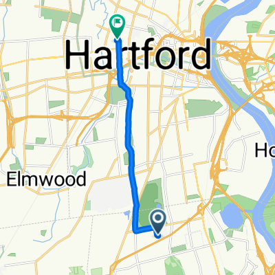 104 Fairway Dr, Wethersfield to 63 Niles St, Hartford
- Distance
- 6.9 km
- Ascent
- 57 m
- Descent
- 54 m
- Location
- Wethersfield, Connecticut, United States
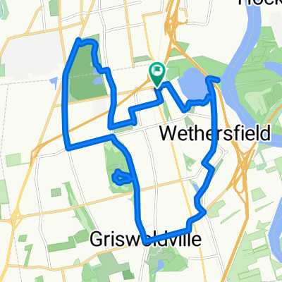 Wethersfield
- Distance
- 18.7 km
- Ascent
- 142 m
- Descent
- 144 m
- Location
- Wethersfield, Connecticut, United States
 Recovered Route
- Distance
- 5.5 km
- Ascent
- 27 m
- Descent
- 44 m
- Location
- Wethersfield, Connecticut, United States
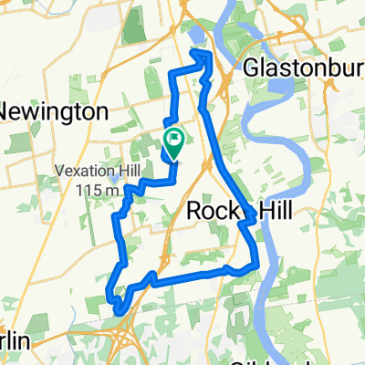 Wethersfield - RH Easy 19
- Distance
- 30.7 km
- Ascent
- 202 m
- Descent
- 202 m
- Location
- Wethersfield, Connecticut, United States
Open it in the app