

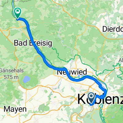
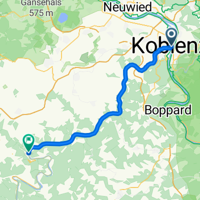
Fahrt in den Frühling 2016 - RTF des Radsportclub Kelto-Rhenania 1922 e.V. Koblenz - 51 km Strecke
A cycling route starting in Koblenz, Rhineland-Palatinate, Germany.
Overview
About this route
Ride into Spring 2016 - 51 km
RTF of the Radsportclub Kelto-Rhenania 1922 e.V. Koblenz
Click here for all further information about this route
- -:--
- Duration
- 44.2 km
- Distance
- 208 m
- Ascent
- 208 m
- Descent
- ---
- Avg. speed
- ---
- Max. altitude

Route quality
Waytypes & surfaces along the route
Waytypes
Pedestrian area
2.2 km
(5 %)
Road
1.3 km
(3 %)
Surfaces
Paved
38.5 km
(87 %)
Asphalt
38 km
(86 %)
Concrete
0.4 km
(1 %)
Undefined
5.8 km
(13 %)
Route highlights
Points of interest along the route
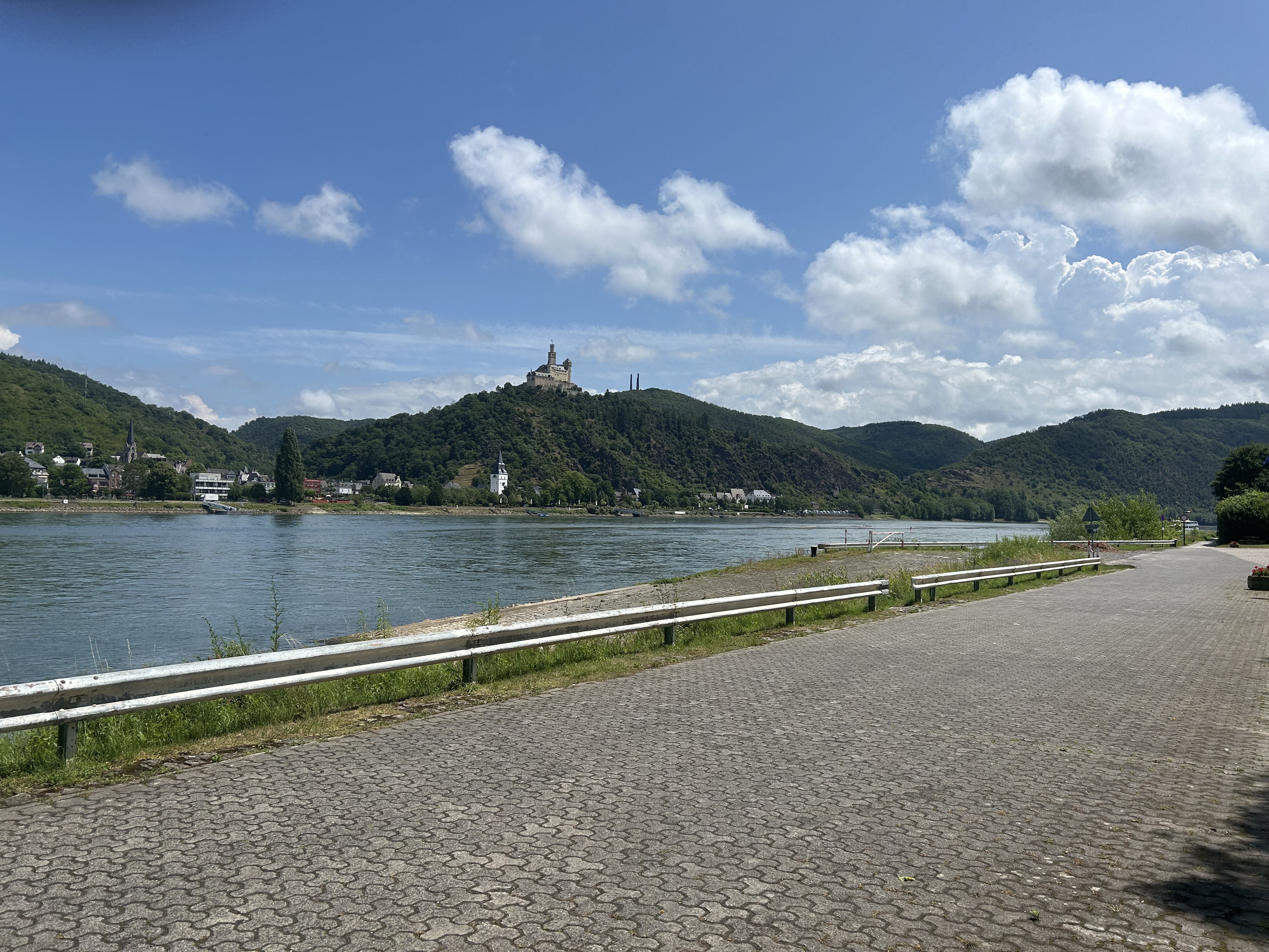
Point of interest after 20.3 km
Kontrolle <b>Alken</b>
Continue with Bikemap
Use, edit, or download this cycling route
You would like to ride Fahrt in den Frühling 2016 - RTF des Radsportclub Kelto-Rhenania 1922 e.V. Koblenz - 51 km Strecke or customize it for your own trip? Here is what you can do with this Bikemap route:
Free features
- Save this route as favorite or in collections
- Copy & plan your own version of this route
- Sync your route with Garmin or Wahoo
Premium features
Free trial for 3 days, or one-time payment. More about Bikemap Premium.
- Navigate this route on iOS & Android
- Export a GPX / KML file of this route
- Create your custom printout (try it for free)
- Download this route for offline navigation
Discover more Premium features.
Get Bikemap PremiumFrom our community
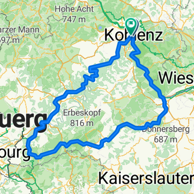
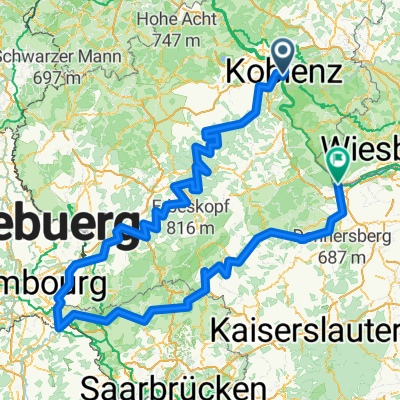
Other popular routes starting in Koblenz
 Von Koblenz bis Remagen
- Distance
- 51.2 km
- Ascent
- 272 m
- Descent
- 276 m
- Location
- Koblenz, Rhineland-Palatinate, Germany
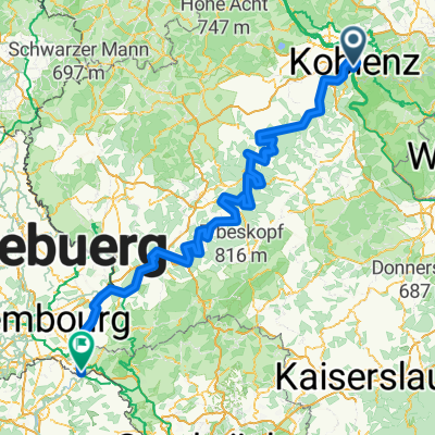 Mosel-Radweg
- Distance
- 266.6 km
- Ascent
- 2,624 m
- Descent
- 2,533 m
- Location
- Koblenz, Rhineland-Palatinate, Germany
 Roman Gebbi
- Distance
- 403 km
- Ascent
- 5,182 m
- Descent
- 5,184 m
- Location
- Koblenz, Rhineland-Palatinate, Germany
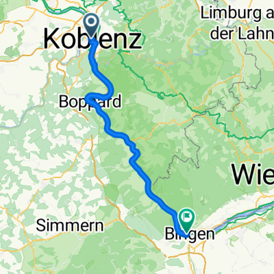 005Koblenz - Bingen am Rhein
- Distance
- 64.9 km
- Ascent
- 700 m
- Descent
- 699 m
- Location
- Koblenz, Rhineland-Palatinate, Germany
 Sankt Sebastian - Bonn
- Distance
- 50 km
- Ascent
- 628 m
- Descent
- 615 m
- Location
- Koblenz, Rhineland-Palatinate, Germany
 Koblenz naar Hindenburganlage, Bingen am Rhein
- Distance
- 61.5 km
- Ascent
- 194 m
- Descent
- 168 m
- Location
- Koblenz, Rhineland-Palatinate, Germany
 Mosel / Nahe Tour
- Distance
- 532.1 km
- Ascent
- 6,856 m
- Descent
- 6,850 m
- Location
- Koblenz, Rhineland-Palatinate, Germany
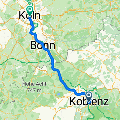 Koblenz - Köln
- Distance
- 100.4 km
- Ascent
- 503 m
- Descent
- 530 m
- Location
- Koblenz, Rhineland-Palatinate, Germany
Open it in the app