Flache Traunroute bis nach Traun
A cycling route starting in Buchkirchen, Upper Austria, Austria.
Overview
About this route
-
along the Traun: the blue marked route is the asphalt path (fully rideable with a road bike), the gravel path is right next to it (up the embankment; fully rideable with an MTB), you can switch between the two every few hundred meters
-
mostly flat along the Traun, some small climbs, one somewhat longer climb and the corresponding longer descent
-
on the marked roads there is almost always a bike path, or they have very little traffic
- -:--
- Duration
- 52.3 km
- Distance
- 146 m
- Ascent
- 146 m
- Descent
- ---
- Avg. speed
- ---
- Max. altitude
Route quality
Waytypes & surfaces along the route
Waytypes
Track
12 km
(23 %)
Access road
11.5 km
(22 %)
Surfaces
Paved
37.2 km
(71 %)
Unpaved
3.7 km
(7 %)
Asphalt
34.5 km
(66 %)
Gravel
3.1 km
(6 %)
Continue with Bikemap
Use, edit, or download this cycling route
You would like to ride Flache Traunroute bis nach Traun or customize it for your own trip? Here is what you can do with this Bikemap route:
Free features
- Save this route as favorite or in collections
- Copy & plan your own version of this route
- Sync your route with Garmin or Wahoo
Premium features
Free trial for 3 days, or one-time payment. More about Bikemap Premium.
- Navigate this route on iOS & Android
- Export a GPX / KML file of this route
- Create your custom printout (try it for free)
- Download this route for offline navigation
Discover more Premium features.
Get Bikemap PremiumFrom our community
Other popular routes starting in Buchkirchen
Marchtrenker Straße 26, Oberhocherenz nach Oberhocherenz 24- Distance
- 32.7 km
- Ascent
- 269 m
- Descent
- 262 m
- Location
- Buchkirchen, Upper Austria, Austria
Scharten- Distance
- 17.9 km
- Ascent
- 466 m
- Descent
- 424 m
- Location
- Buchkirchen, Upper Austria, Austria
Grieskirchen auf a EIS- Distance
- 44.6 km
- Ascent
- 287 m
- Descent
- 284 m
- Location
- Buchkirchen, Upper Austria, Austria
Hoch und Runter am Sonntag Vormittag- Distance
- 17.2 km
- Ascent
- 175 m
- Descent
- 177 m
- Location
- Buchkirchen, Upper Austria, Austria
Puchberg-Fernreith-Puchberg- Distance
- 17.8 km
- Ascent
- 104 m
- Descent
- 114 m
- Location
- Buchkirchen, Upper Austria, Austria
Katzbach-Scharten-Eferding-Stroheim- Distance
- 54.2 km
- Ascent
- 677 m
- Descent
- 701 m
- Location
- Buchkirchen, Upper Austria, Austria
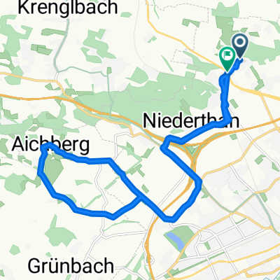
Sonnleiten - Fernreith- Distance
- 17.2 km
- Ascent
- 129 m
- Descent
- 128 m
- Location
- Buchkirchen, Upper Austria, Austria
Flache Traunroute bis (kurz vor) Schwanenstadt- Distance
- 59.4 km
- Ascent
- 201 m
- Descent
- 200 m
- Location
- Buchkirchen, Upper Austria, Austria
Open it in the app

