
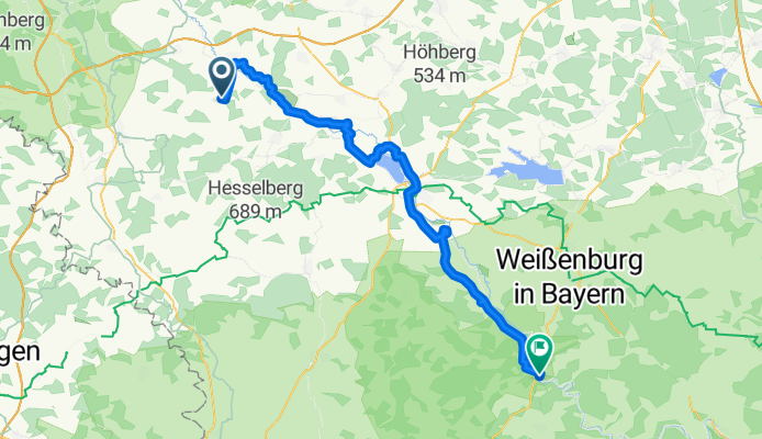
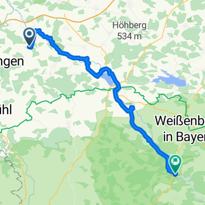
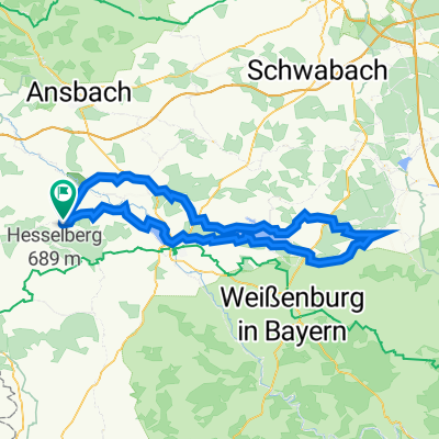
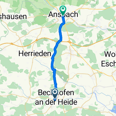
Herrieden - Dietfurt (Treuchtlingen)
A cycling route starting in Wieseth, Bavaria, Germany.
Overview
About this route
- -:--
- Duration
- 66.3 km
- Distance
- 91 m
- Ascent
- 140 m
- Descent
- ---
- Avg. speed
- 475 m
- Max. altitude
Route quality
Waytypes & surfaces along the route
Waytypes
Road
16.6 km
(25 %)
Quiet road
15.9 km
(24 %)
Surfaces
Paved
29.2 km
(44 %)
Unpaved
4.6 km
(7 %)
Asphalt
28.5 km
(43 %)
Gravel
2 km
(3 %)
Continue with Bikemap
Use, edit, or download this cycling route
You would like to ride Herrieden - Dietfurt (Treuchtlingen) or customize it for your own trip? Here is what you can do with this Bikemap route:
Free features
- Save this route as favorite or in collections
- Copy & plan your own version of this route
- Sync your route with Garmin or Wahoo
Premium features
Free trial for 3 days, or one-time payment. More about Bikemap Premium.
- Navigate this route on iOS & Android
- Export a GPX / KML file of this route
- Create your custom printout (try it for free)
- Download this route for offline navigation
Discover more Premium features.
Get Bikemap PremiumFrom our community
Other popular routes starting in Wieseth
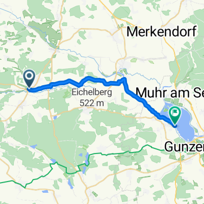 Altmühlsee
- Distance
- 15.1 km
- Ascent
- 30 m
- Descent
- 48 m
- Location
- Wieseth, Bavaria, Germany
 Herrieden - Dietfurt (Treuchtlingen)
- Distance
- 66.3 km
- Ascent
- 91 m
- Descent
- 140 m
- Location
- Wieseth, Bavaria, Germany
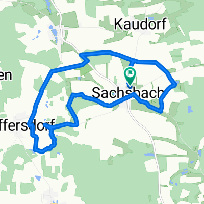
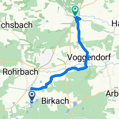 ZumKrummweiher2
- Distance
- 9.1 km
- Ascent
- 28 m
- Descent
- 47 m
- Location
- Wieseth, Bavaria, Germany
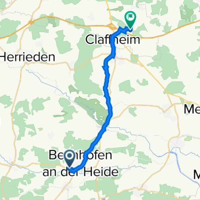
 Entspannende Route in Bechhofen
- Distance
- 11.1 km
- Ascent
- 57 m
- Descent
- 56 m
- Location
- Wieseth, Bavaria, Germany
 От Am Moosgraben 32, Bechhofen до Nikolaus-Otto-Straße 1, Ansbach
- Distance
- 14.8 km
- Ascent
- 155 m
- Descent
- 103 m
- Location
- Wieseth, Bavaria, Germany
 erster Vorschlag
- Distance
- 115 km
- Ascent
- 1,018 m
- Descent
- 1,017 m
- Location
- Wieseth, Bavaria, Germany
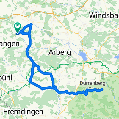 Über den Hahnenkamm und zurück
- Distance
- 102.7 km
- Ascent
- 768 m
- Descent
- 768 m
- Location
- Wieseth, Bavaria, Germany
 Ansbach
- Distance
- 17.6 km
- Ascent
- 120 m
- Descent
- 140 m
- Location
- Wieseth, Bavaria, Germany
Open it in the app