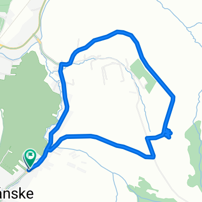
Stranske - Lietavska Svinna
- 20.7 km
- 526 m
- 524 m
- Rajec, Žilina Region, Slovakia
Overview
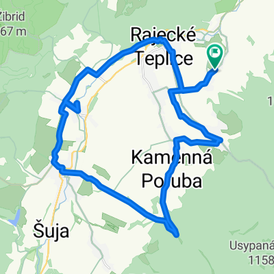
Flämm bike - Kunerad - Turie - Poluvsie - Flämm
created this 4 years ago
Part of
13 stages


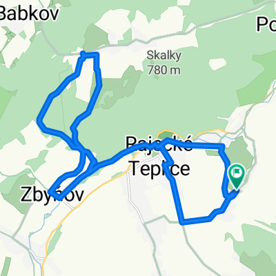
Route quality
Track
8.9 km
(47 %)
Quiet road
4.3 km
(23 %)
Paved
5.7 km
(30 %)
Unpaved
6.6 km
(35 %)
Asphalt
3.8 km
(20 %)
Gravel
3.2 km
(17 %)
Continue with Bikemap
You would like to ride 3. Flámm- Okruh cez Turie or customize it for your own trip? Here is what you can do with this Bikemap route:
Free trial for 3 days, or one-time payment. More about Bikemap Premium.
Discover more Premium features.
Get Bikemap PremiumFrom our community
Open it in the app