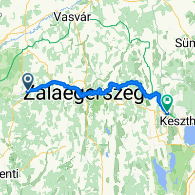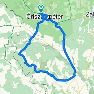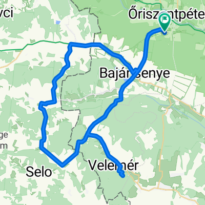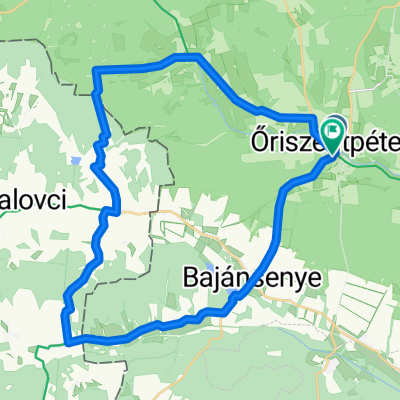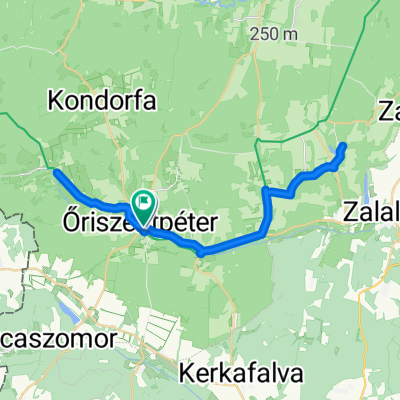
Route to Őriszentpéter
- 42 km
- 280 m
- 274 m
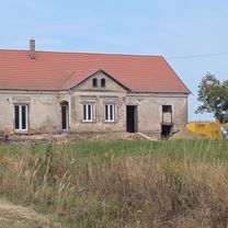
- Zalalövő, Zala County, Hungary
A cycling route starting in Zalalövő, Zala County, Hungary.
Overview
created this 4 years ago
Route quality
Quiet road
1.7 km
(40 %)
Access road
0.1 km
(2 %)
Paved
2.9 km
(71 %)
Asphalt
2.4 km
(58 %)
Concrete
0.5 km
(13 %)
Undefined
1.2 km
(29 %)
Continue with Bikemap
You would like to ride IV. ŐKFF - gyerek kerékpáros futam or customize it for your own trip? Here is what you can do with this Bikemap route:
Free trial for 3 days, or one-time payment. More about Bikemap Premium.
Discover more Premium features.
Get Bikemap PremiumFrom our community
Open it in the app