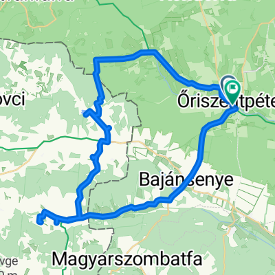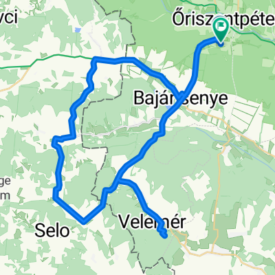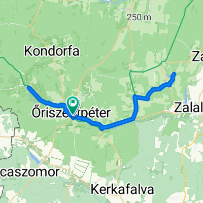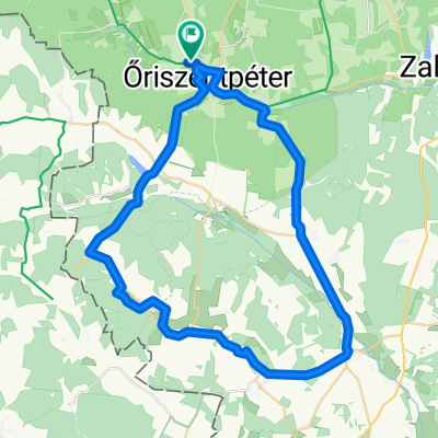
Őrség_Koko_3
- 67.2 km
- 533 m
- 535 m
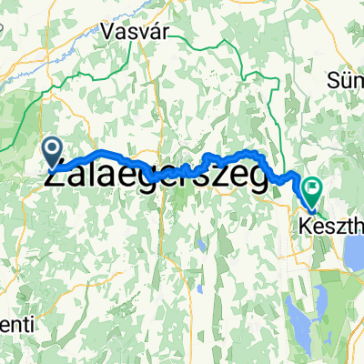
- Zalalövő, Zala County, Hungary
A cycling route starting in Zalalövő, Zala County, Hungary.
Overview
created this 4 years ago
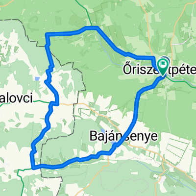
Route quality
Track
19.7 km
(82 %)
Quiet road
1.4 km
(6 %)
Paved
7.2 km
(30 %)
Unpaved
7.2 km
(30 %)
Paved (undefined)
5.3 km
(22 %)
Ground
2.9 km
(12 %)
Continue with Bikemap
You would like to ride IV. ŐKFF - terepfutás - hosszútáv or customize it for your own trip? Here is what you can do with this Bikemap route:
Free trial for 3 days, or one-time payment. More about Bikemap Premium.
Discover more Premium features.
Get Bikemap PremiumFrom our community
Open it in the app