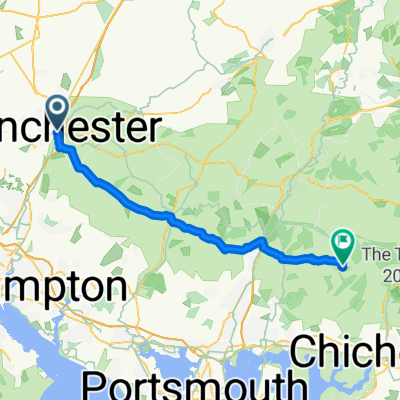
Day 1 KAW with stops
A cycling route starting in Winchester, England, United Kingdom.
Overview
About this route
- -:--
- Duration
- 99.6 km
- Distance
- 0 m
- Ascent
- 0 m
- Descent
- ---
- Avg. speed
- ---
- Avg. speed
Route quality
Waytypes & surfaces along the route
Waytypes
Undefined
99.6 km
(100 %)
Surfaces
Undefined
99.6 km
(100 %)
Route highlights
Points of interest along the route
Point of interest after 35 km
Checkpoint 1 _ Firsdown
Point of interest after 49.7 km
Bridge Inn - Lunch
Point of interest after 74 km
Checkpoint 2 Tilshead Car Park
Continue with Bikemap
Use, edit, or download this cycling route
You would like to ride Day 1 KAW with stops or customize it for your own trip? Here is what you can do with this Bikemap route:
Free features
- Save this route as favorite or in collections
- Copy & plan your own version of this route
- Sync your route with Garmin or Wahoo
Premium features
Free trial for 3 days, or one-time payment. More about Bikemap Premium.
- Navigate this route on iOS & Android
- Export a GPX / KML file of this route
- Create your custom printout (try it for free)
- Download this route for offline navigation
Discover more Premium features.
Get Bikemap PremiumFrom our community
Other popular routes starting in Winchester
- South Downs Way - New End
- Distance
- 159.6 km
- Ascent
- 1,497 m
- Descent
- 1,480 m
- Location
- Winchester, England, United Kingdom
- Sparsholt loop 27k road
- Distance
- 27.8 km
- Ascent
- 285 m
- Descent
- 278 m
- Location
- Winchester, England, United Kingdom
- Winchester 3 Golf Courses Off Road
- Distance
- 21.3 km
- Ascent
- 288 m
- Descent
- 290 m
- Location
- Winchester, England, United Kingdom
- Itchen Valley short
- Distance
- 16 km
- Ascent
- 146 m
- Descent
- 146 m
- Location
- Winchester, England, United Kingdom
- Winchester, Braishfield, Kings Somborne, Winchester
- Distance
- 35 km
- Ascent
- 311 m
- Descent
- 302 m
- Location
- Winchester, England, United Kingdom
- Road Bike - 31 May
- Distance
- 94.7 km
- Ascent
- 1,031 m
- Descent
- 1,011 m
- Location
- Winchester, England, United Kingdom
- South Downs Way 100 mile
- Distance
- 156.5 km
- Ascent
- 1,622 m
- Descent
- 1,672 m
- Location
- Winchester, England, United Kingdom
- HHH east section of midi route
- Distance
- 66.3 km
- Ascent
- 425 m
- Descent
- 495 m
- Location
- Winchester, England, United Kingdom